Watershed Module: Difference between revisions
Jump to navigation
Jump to search
No edit summary |
No edit summary |
||
| Line 1: | Line 1: | ||
{{Template:Watershed Module buttons}} | {{Template:Watershed Module buttons}} | ||
[[File:Watershed_Overlay.png|thumb|left|Rainfall overlay, part of the water module]] | [[File:Watershed_Overlay.png|thumb|left|Rainfall overlay, part of the water module]] | ||
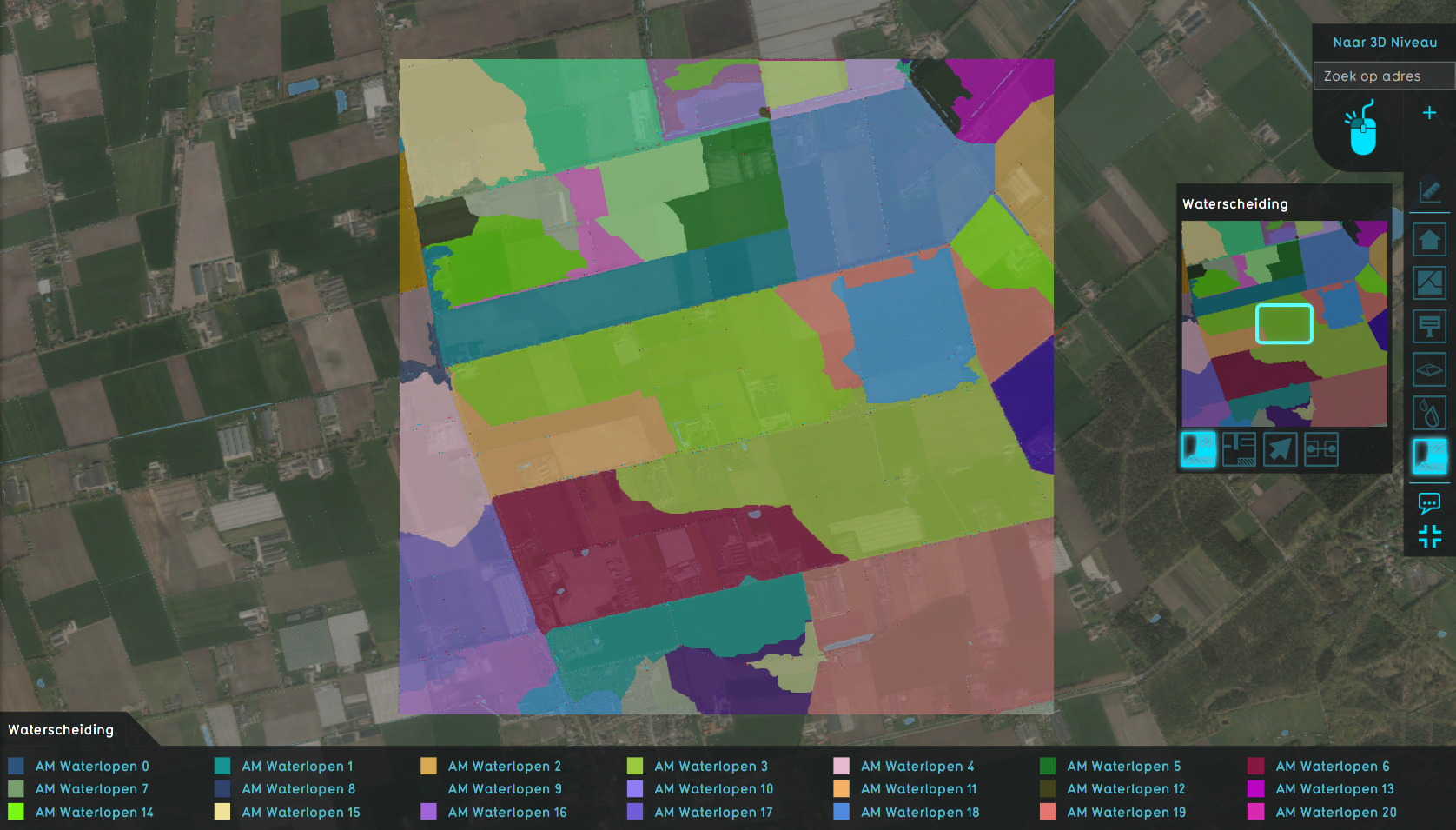
Our watershed algorithm is used for identifying the watershed areas for predefined waterways. More generally, one is interested into which waterway a set of rain drops will end up based on the terrain elevation and the starting location of the drops. | |||
Since we support the calculation of rainfall using our water module and can generate water flow direction results, we have altered the watershed algorithm to use the flow direction instead of the terrain elevation as input. Given that the rainfall used is adequately large, it helps us reducing the amount of local minima and hopefully generate more realistic results based on rainfall simulation. | |||
Revision as of 16:30, 20 May 2020

Our watershed algorithm is used for identifying the watershed areas for predefined waterways. More generally, one is interested into which waterway a set of rain drops will end up based on the terrain elevation and the starting location of the drops.
Since we support the calculation of rainfall using our water module and can generate water flow direction results, we have altered the watershed algorithm to use the flow direction instead of the terrain elevation as input. Given that the rainfall used is adequately large, it helps us reducing the amount of local minima and hopefully generate more realistic results based on rainfall simulation.


