Watershed Module: Difference between revisions
No edit summary |
No edit summary |
||
| Line 9: | Line 9: | ||
Fortunately, instead of using only the gradient of the terrain directly, we can also simulate rainfall using our [[Rainfall (Overlay)]] and use the Average Direction result to have a better idea of where the rain drops will end up based on momentum. Given that the rainfall is sufficiently large, this will remove local minima and solve most issues of unknown flow direction on flat surfaces. | Fortunately, instead of using only the gradient of the terrain directly, we can also simulate rainfall using our [[Rainfall (Overlay)]] and use the Average Direction result to have a better idea of where the rain drops will end up based on momentum. Given that the rainfall is sufficiently large, this will remove local minima and solve most issues of unknown flow direction on flat surfaces. | ||
====Discharge Areas==== | |||
In a water system model, the waterways generally catch the rainfall and transport it elsewhere. These waterways can be considered the end point of a rain drops travel overland. | |||
Expert users often have grouped multiple waterways together to make it easier for analysis and discussion. The {{software}} allows to import these groups as areas, which we conceptually call [[Discharge area (Watershed Overlay)|Discharge areas]]. Each discharge area will then result into a unique watershed. | |||
Revision as of 09:46, 10 June 2020

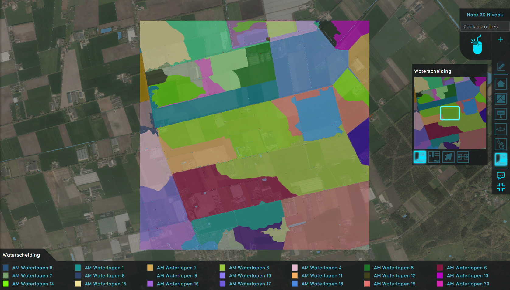
The watershed module provides a solution for the following question:
I want to know into which waterway a set of rain drops will end up based on the terrain elevation and the starting location of the drops.
The locations of the drops that all end up in the same waterway can be grouped together to form a region called the watershed.
Historically, the calculation of watersheds was mostly done based on the gradient of the terrain. However, when the terrain is near flat, it is not known where the rain water will flow and the direction will be assigned arbitrarily based on the used algorithm. Secondly, the terrain often contains many local minimas, which results in the creation of too many unique watersheds (oversegmentation). To solve this, one would often apply filters on the terrain to remove these local minimas, but this required a lot of user judgement.
Fortunately, instead of using only the gradient of the terrain directly, we can also simulate rainfall using our Rainfall (Overlay) and use the Average Direction result to have a better idea of where the rain drops will end up based on momentum. Given that the rainfall is sufficiently large, this will remove local minima and solve most issues of unknown flow direction on flat surfaces.
Discharge Areas
In a water system model, the waterways generally catch the rainfall and transport it elsewhere. These waterways can be considered the end point of a rain drops travel overland.
Expert users often have grouped multiple waterways together to make it easier for analysis and discussion. The Tygron Platform allows to import these groups as areas, which we conceptually call Discharge areas. Each discharge area will then result into a unique watershed.


