Elevation model
Redirect page
Redirect to:
What is an elevation model

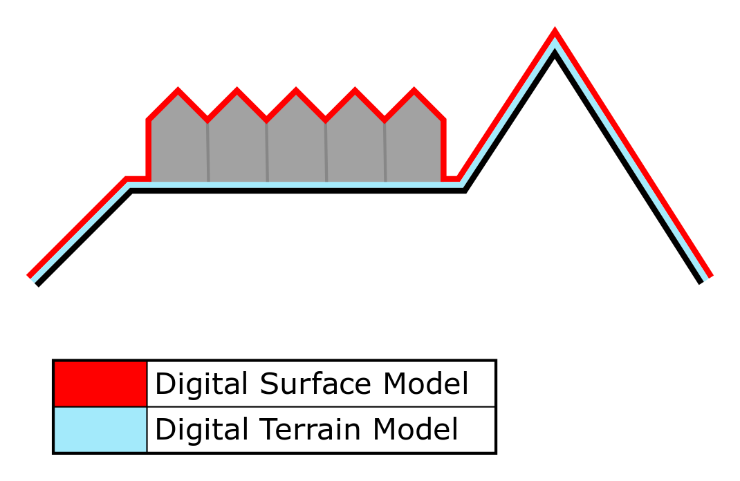
An elevation model, also known as a Digital Surface Model (DSM) or Digital Terrain Model (DTM) as appropriate, is a model representation of terrain heights; the quantitative measurement of vertical elevation change in a landscape. On a small scale, differences in terrain height can affect shade and water distribution. On a larger scale, terrain height has an effect on weather and climate patterns.
How is the elevation model implemented in the Tygron Platform
In the Tygron Platform, the elevation model offers terrein heights representation as both a DTM and as a DSM. Specifically, it is a 2-dimensional grid with values indicating the terrain height in meters relative to datum. Terrain in this context meaning the soil and everything below it. Features such as Constructions are explicitly not a part of the DTM, but are a part of the DSM. In locations with water, the elevation model follows the bottom of the water body for both the DTM and the DSM.
Default elevation model
Constructions
Waterways
How-to's
- How to change how the default elevation model is generated
- How to import a GeoTIFF as elevation model
- How to import a GeoJSON to change the elevation model
- How to import waterways
