Sewer model (Water Overlay)
Sewers are available in the water model, allowing for the retention of excess water which would otherwise stay and flow on the surface.
Sewers can be implicitly activated and deactivated by adding or removing Sewer areas. If no sewer areas exist, no sewers are available in the water model and no water can flow to and from there.
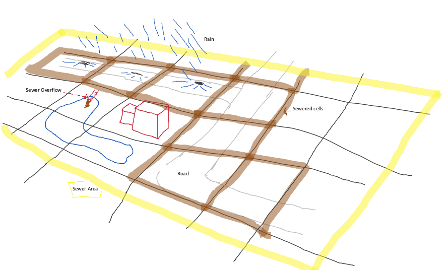
Sewer areas define the areas in which sewers exist. The capacity of those sewers is based on the sewer area's SEWER_STORAGE attribute. The actual locations where the sewer exists is the intersection between the sewer areas and the sewered constructions in the project area. The total surface area of the actual sewer is equal to that intersection.
If there is water on the surface, in a cell with a sewered construction, and there is a sewer present in the same location, the water flows directly into the sewer. Water can flow in until the sewer is filled to capacity. Water can only flow into a sewer a via sewered construction. It is not possible for water to flow from a sewer back to the surface via a sewered construction, unless that construction is is explicitly a sewer overflow.
Sewer Overflow
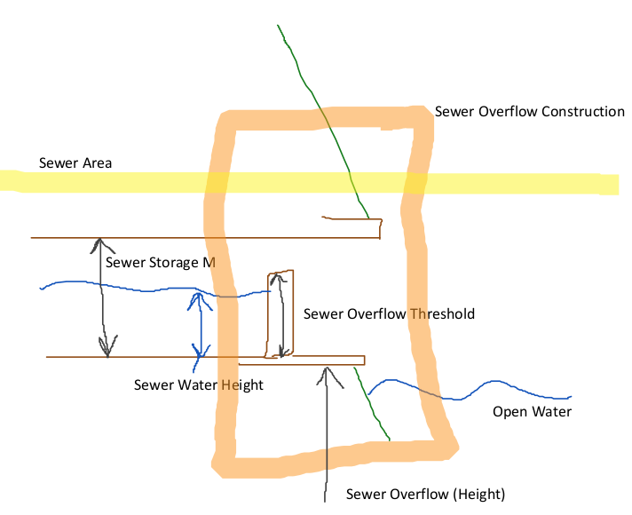
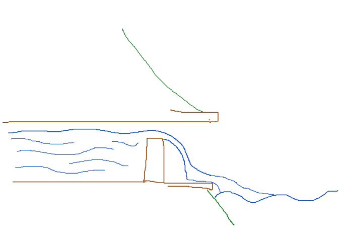
Rain water can flow from a sewer overflow back onto the surface via a Sewer overflow. A sewer overflow removes water from the sewer and places it on the surface of the cell where the overflow is located. The speed at which this water flows is determined by the SEWER_OVERFLOW_SPEED.
To overflow from the sewer to the surface, two criteria need to be met. Firstly, the amount of water in the sewer relative to the sewer's total capacity must exceed the SEWER_OVERFLOW_THRESHOLD. Secondly, the water level in the sewer must exceed the terrain height at the location of the sewer overflow.
Water can be removed from a sewer based on the sewer area's SEWER_PUMP_SPEED. Water removed from the sewer in this way is removed entirely from the hydrological model.


