Help
Uploads by Frank@tygron.nl
Jump to navigation
Jump to search
This special page shows all uploaded files.
File list
Items per page:
20
50
100
250
500
Username:
Include old versions of files
Go
First page
Previous page
Next page
Last page
Date
Name
Thumbnail
Size
Description
Versions
16:00, 11 January 2023
GeoTIFF measure post.png
(
file
)
812 KB
1
12:11, 26 January 2023
Camera cinematic.png
(
file
)
816 KB
1
14:15, 29 March 2024
Underground model.jpg
(
file
)
816 KB
2
13:34, 6 October 2022
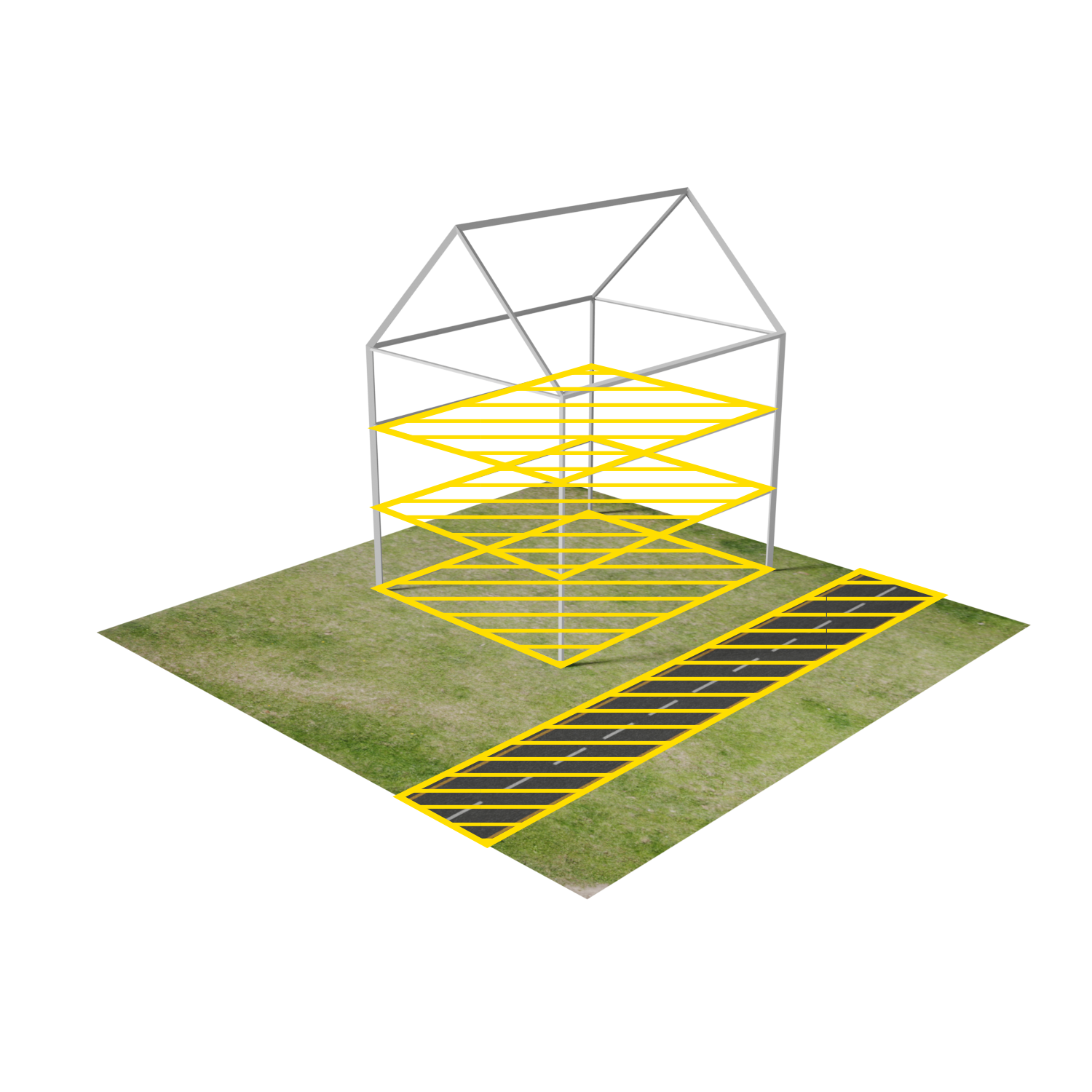
Building section floors.png
(
file
)
853 KB
1
15:59, 11 January 2023
GeoTIFF measure pre.png
(
file
)
866 KB
1
12:02, 26 January 2023
Camera top down.png
(
file
)
876 KB
1
15:16, 29 January 2024
Wateroverlay groundwatertable with surface.png
(
file
)
880 KB
1
11:17, 9 February 2023
Logo panel screenshot interface.png
(
file
)
884 KB
1
16:23, 1 November 2023
Breach measurement wateroverlay.PNG
(
file
)
926 KB
2
10:06, 20 October 2022
New project wizard select area.png
(
file
)
932 KB
1
10:53, 28 February 2024
Bridge surface elevation lowest land.png
(
file
)
934 KB
1
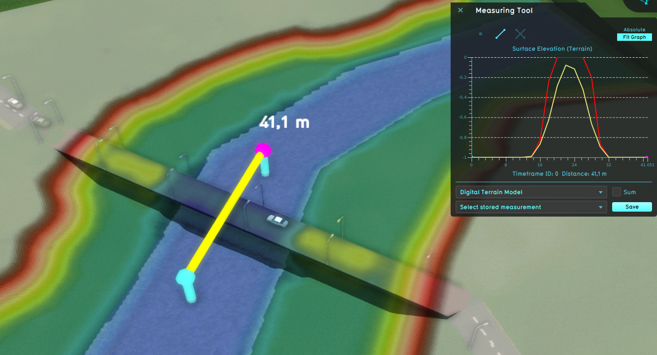
10:53, 28 February 2024
Bridge surface elevation terrain land.png
(
file
)
938 KB
1
10:52, 28 February 2024
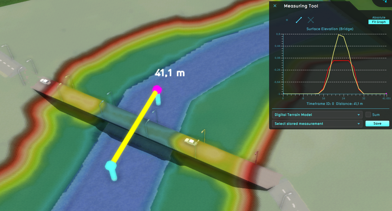
Bridge surface elevation bridge water.png
(
file
)
949 KB
1
10:51, 28 February 2024
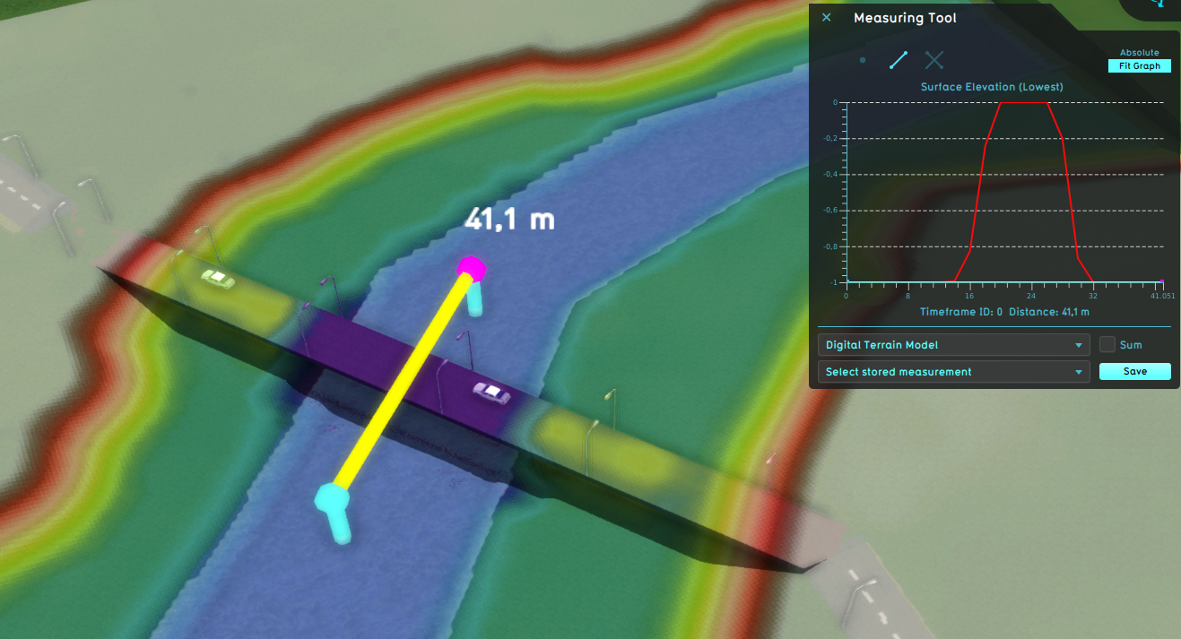
Bridge surface elevation lowest water.png
(
file
)
950 KB
1
12:02, 26 January 2023
Camera standard.png
(
file
)
955 KB
1
10:52, 28 February 2024
Bridge surface elevation terrain water.png
(
file
)
957 KB
1
10:52, 28 February 2024
Bridge surface elevation bridge land.png
(
file
)
958 KB
1
12:24, 26 January 2023
Camera circle.png
(
file
)
977 KB
1
10:08, 20 October 2022
New project wizard generated neigbhorhoods.png
(
file
)
985 KB
1
15:17, 29 January 2024
Wateroverlay groundwatertable without surface.png
(
file
)
997 KB
1
15:54, 29 January 2024
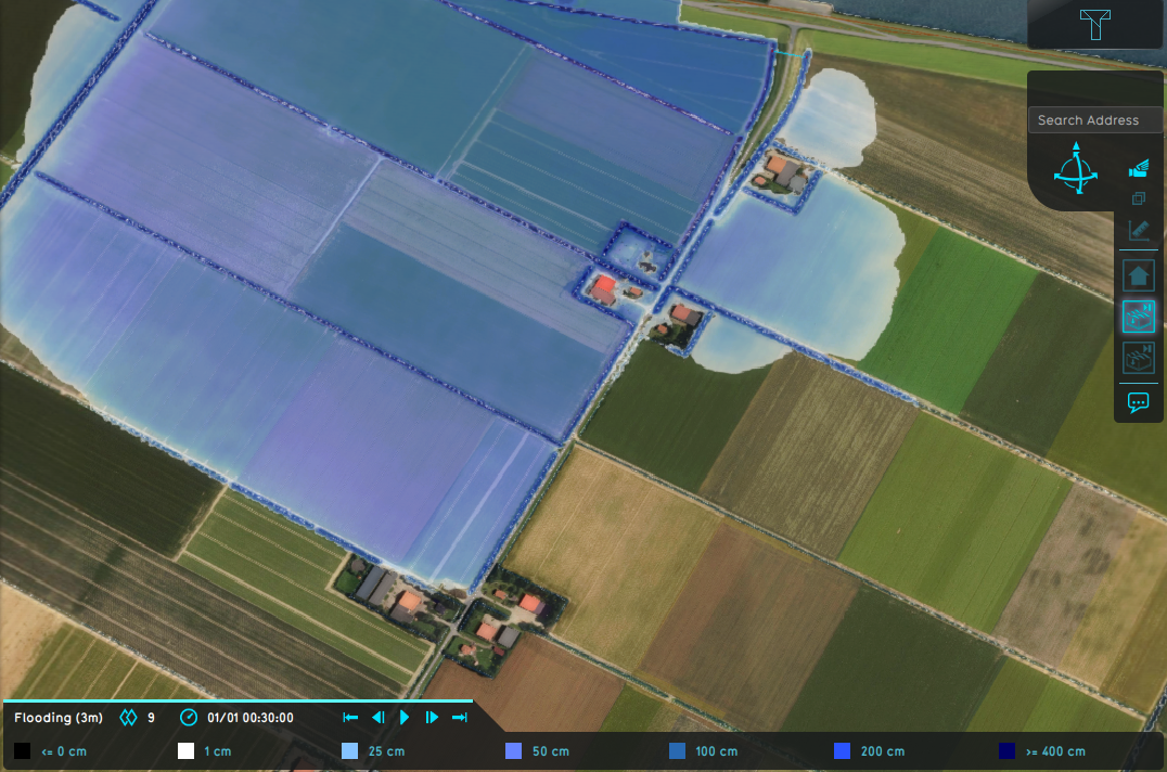
Wateroverlay impact flood 30min.png
(
file
)
1,006 KB
1
16:04, 29 January 2024
Wateroverlay impact range 30min.png
(
file
)
1,010 KB
1
10:59, 29 January 2024
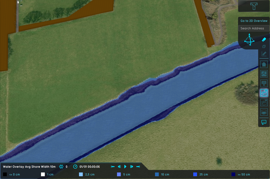
Wateroverlay avg shore width 10m.png
(
file
)
1,010 KB
1
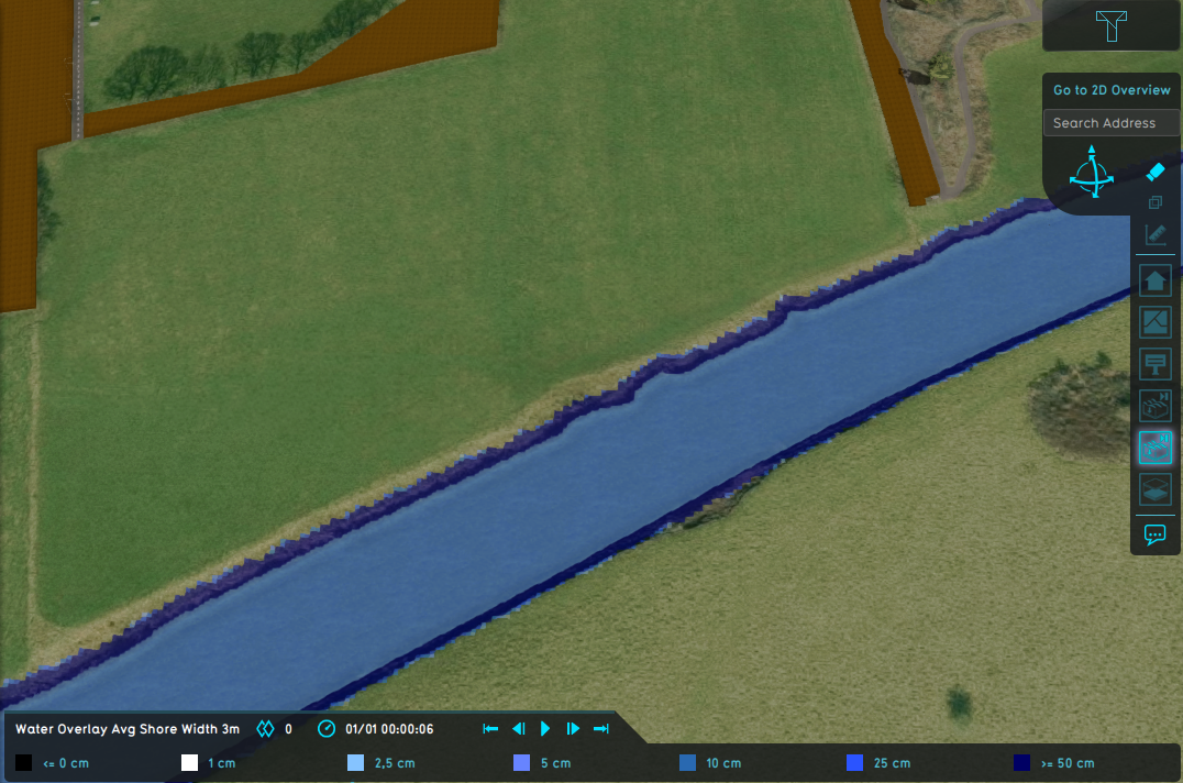
10:59, 29 January 2024
Wateroverlay avg shore width 3m.png
(
file
)
1,012 KB
1
12:03, 26 January 2023
Camera free.png
(
file
)
1.01 MB
1
12:25, 29 January 2024
Wateroverlay avg terrain width 100m.png
(
file
)
1.02 MB
1
12:25, 29 January 2024
Wateroverlay avg terrain width 1000m.png
(
file
)
1.03 MB
1
16:58, 5 March 2024
Tql select landsize representation.png
(
file
)
1.04 MB
1
15:54, 29 January 2024
Wateroverlay impact flood threshold 0 1m.png
(
file
)
1.06 MB
1
16:03, 29 January 2024
Wateroverlay impact range 3m.png
(
file
)
1.06 MB
1
15:54, 29 January 2024
Wateroverlay impact flood threshold 0 5m.png
(
file
)
1.06 MB
1
16:03, 29 January 2024
Wateroverlay impact range 30m.png
(
file
)
1.07 MB
1
11:26, 20 February 2023
Preview download installer.png
(
file
)
1.07 MB
1
16:59, 5 March 2024
Tql select lotsize representation.png
(
file
)
1.12 MB
1
17:00, 5 March 2024
Tql select units representation.png
(
file
)
1.13 MB
1
16:57, 5 March 2024
Tql select floorsize representation.png
(
file
)
1.18 MB
1
11:01, 29 January 2024
Wateroverlay difference waterlevel avg shorewidth.png
(
file
)
1.32 MB
1
10:27, 29 January 2024
Wateroverlay difference waterlevel.png
(
file
)
1.34 MB
1
12:26, 29 January 2024
Wateroverlay difference waterlevel avg terrain width.png
(
file
)
1.34 MB
1
17:07, 29 January 2024
Wateroverlay rainfall areas dynamic.gif
(
file
)
1.38 MB
1
16:27, 20 May 2020
Watershed water level.png
(
file
)
1.44 MB
1
16:20, 20 May 2020
Watershed Overlay.png
(
file
)
1.48 MB
1
12:17, 5 March 2024
Water module flows.jpeg
(
file
)
1.52 MB
1
16:22, 20 May 2020
Watershed discharge areas initial.png
(
file
)
1.52 MB
1
16:23, 20 May 2020
Watershed discharge areas culverts.png
(
file
)
1.52 MB
1
10:36, 7 February 2023
Camera drag rotate.gif
(
file
)
1.61 MB
1
15:20, 29 September 2023
GeoShareViewer.png
(
file
)
1.71 MB
1
16:28, 20 May 2020
Watershed water direction.png
(
file
)
1.76 MB
1
16:24, 20 May 2020
Watershed direction.png
(
file
)
1.79 MB
1
08:34, 30 April 2019
Result case2 ukbm.gif
(
file
)
5.29 MB
1
First page
Previous page
Next page
Last page
Navigation menu
Personal tools
Log in
Namespaces
Special page
English
expanded
collapsed
Views
More
expanded
collapsed
Search
Navigation
Main page
Recent changes
Random page
Upload files
Help
Tools
User contributions
Logs
View user groups
Special pages
Printable version


