Unused files
Jump to navigation
Jump to search
The following files exist but are not embedded in any page. Please note that other web sites may link to a file with a direct URL, and so may still be listed here despite being in active use.
Showing below up to 493 results in range #251 to #743.
View (previous 500 | next 500) (20 | 50 | 100 | 250 | 500)
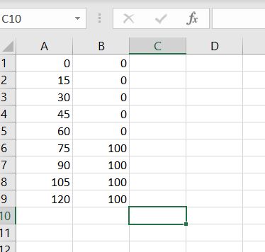 Breach 2 csv.JPG 374 × 356; 26 KB
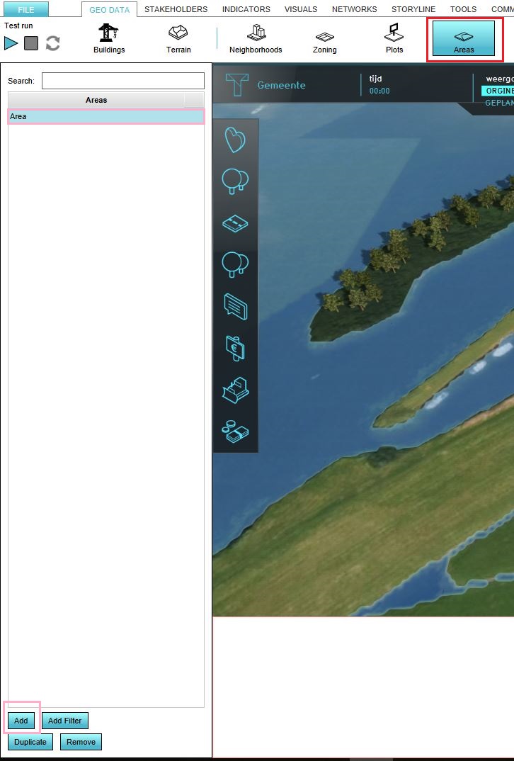
 Breach areas.JPG 1,451 × 456; 80 KB
 Create area.JPG 726 × 1,074; 114 KB
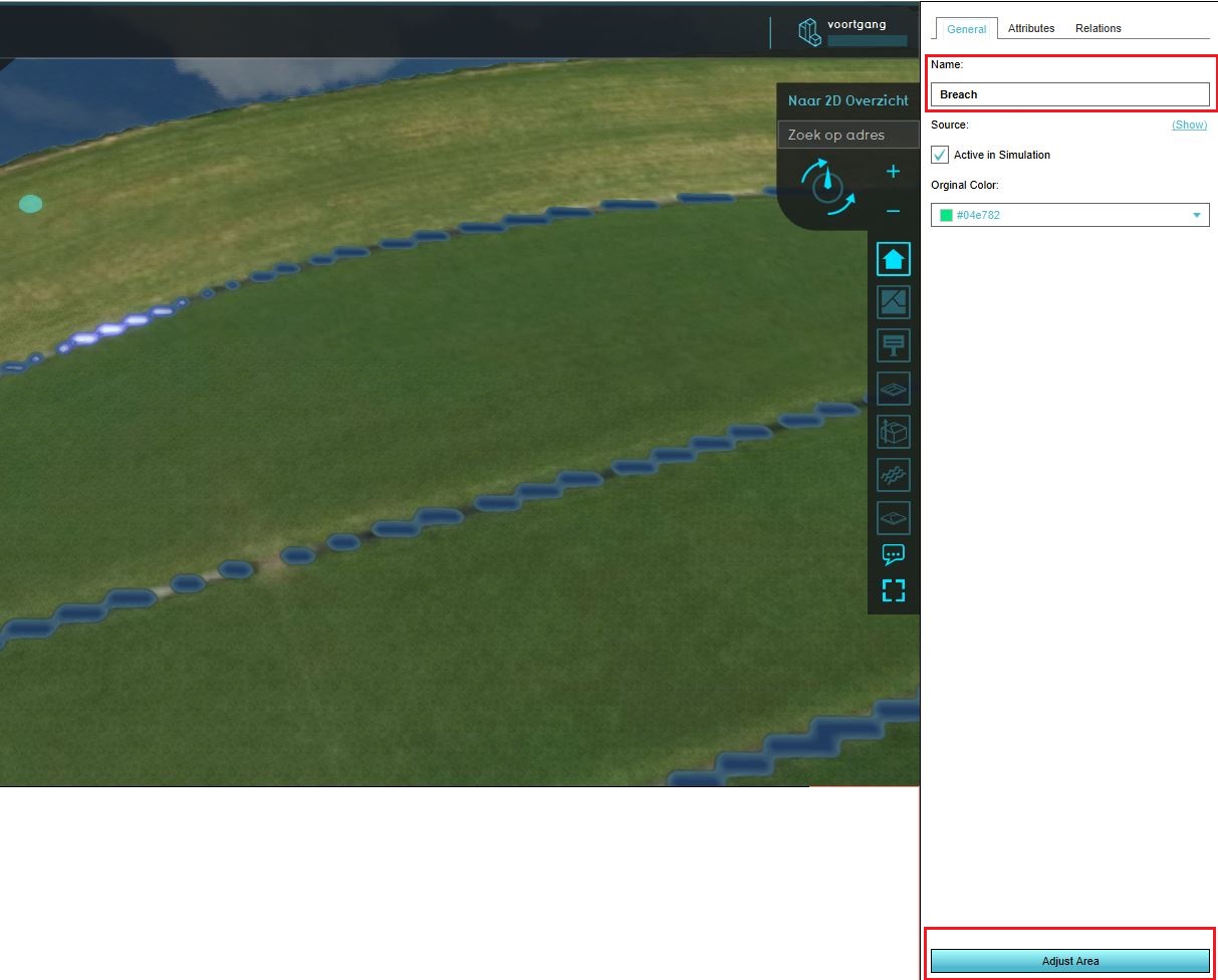 Location area.JPG 1,213 × 976; 150 KB
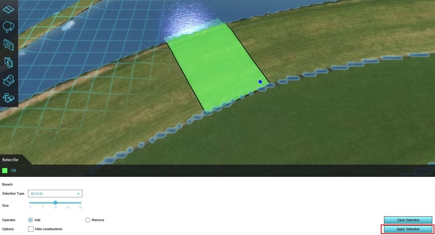 Draw area.JPG 1,442 × 780; 180 KB
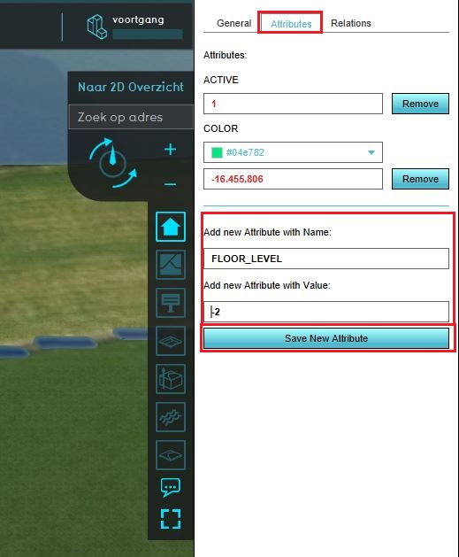 Area attributes.JPG 519 × 629; 69 KB
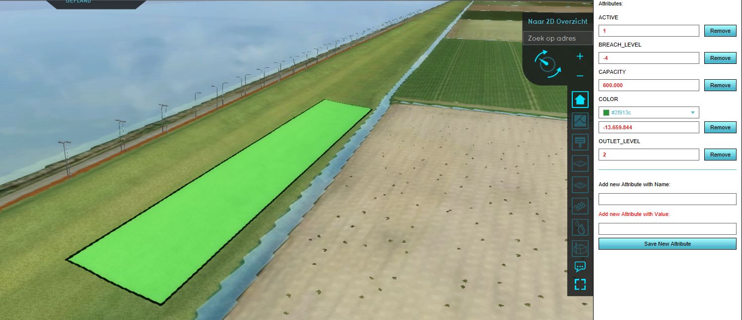 Breach scenario 2.JPG 1,495 × 646; 115 KB
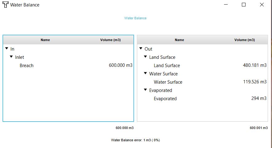 Waterbalance scenario2.JPG 884 × 483; 39 KB
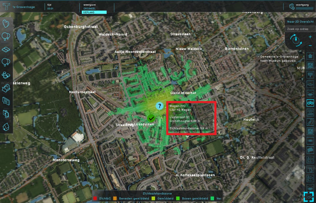 Distance sight.jpg 1,076 × 691; 257 KB
 Distance sight hover.jpg 1,079 × 692; 239 KB
 Calculation time.JPG 876 × 265; 40 KB
 Image quality hd movie.jpg 1,378 × 889; 244 KB
 Output directory hd movie.jpg 1,378 × 889; 242 KB
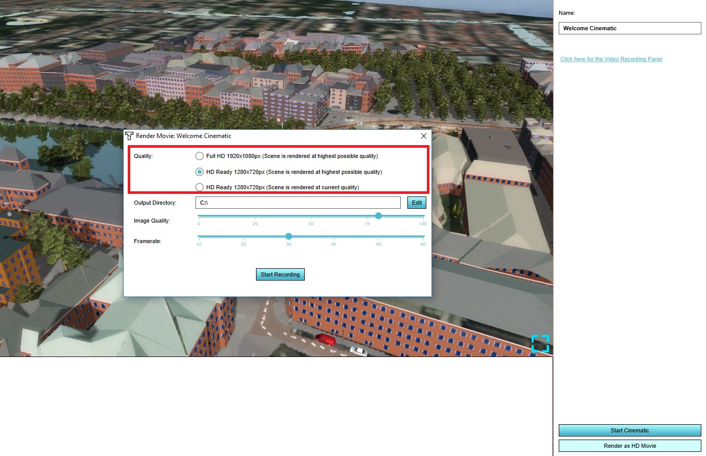 Quality hd movie.jpg 1,378 × 889; 242 KB
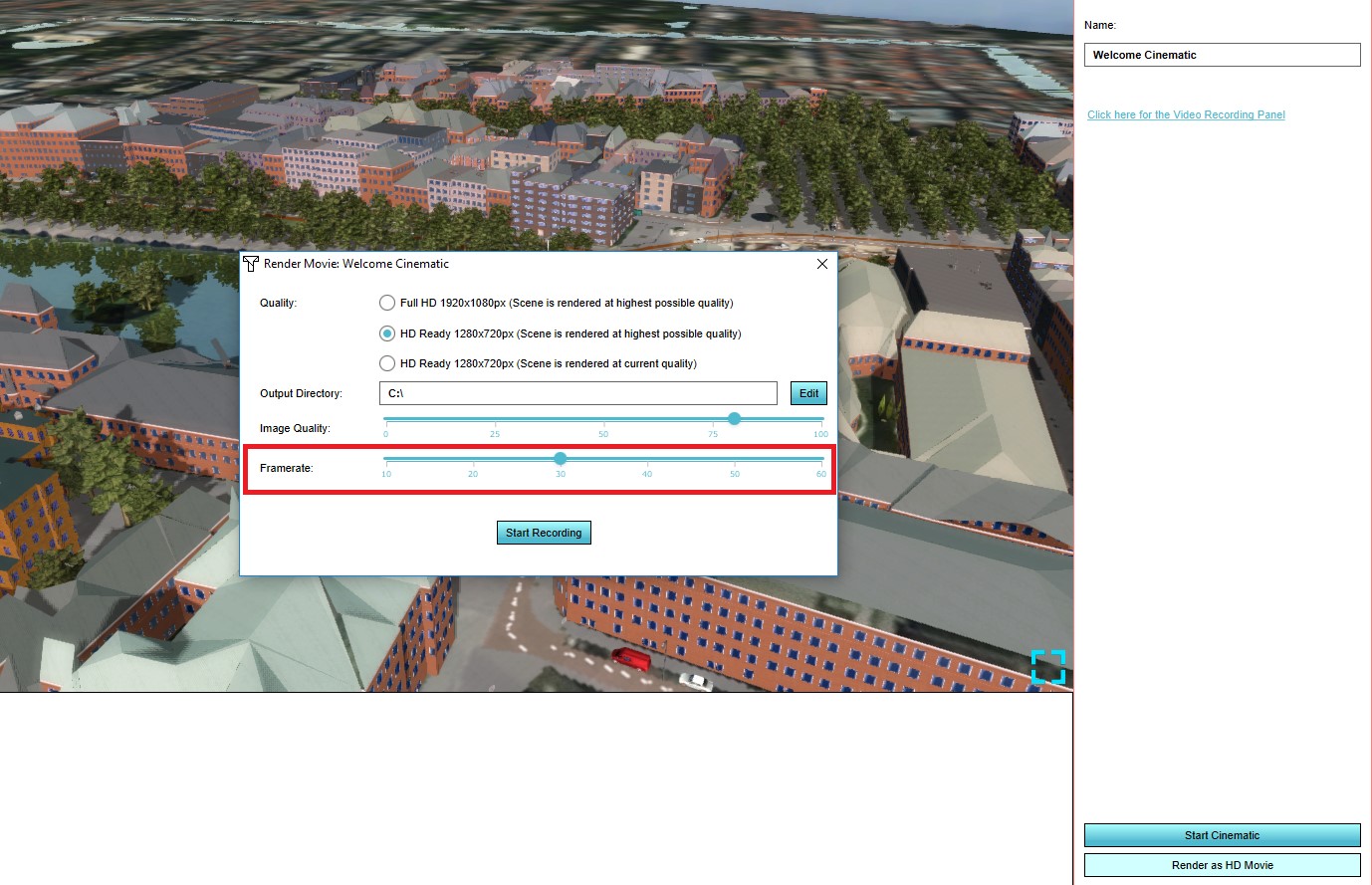 Specify framerate hd movie.jpg 1,378 × 889; 246 KB
 Select visuals.jpg 769 × 530; 109 KB
 Image quality video.jpg 1,377 × 891; 277 KB
 Output directory video.jpg 1,377 × 891; 276 KB
 Specify framerate video.jpg 1,377 × 891; 280 KB
 Specify image quality video.jpg 1,376 × 897; 263 KB
 Start recording video.jpg 1,377 × 891; 273 KB
 Video recording panel button.jpg 1,377 × 891; 273 KB
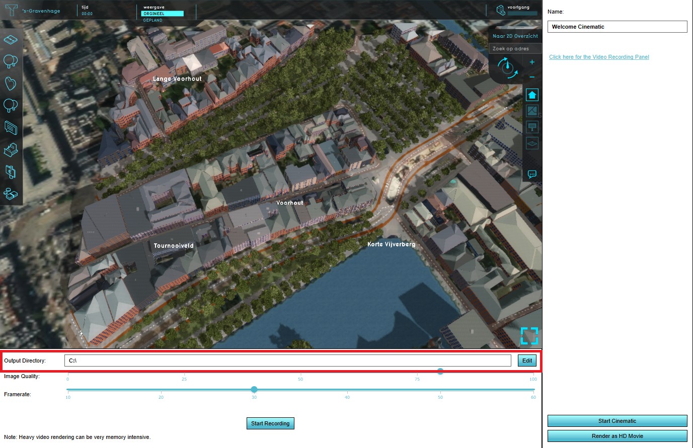
 Video recording panel.jpg 1,377 × 891; 277 KB
 Legend colours.jpg 442 × 757; 68 KB
 Add the ds.jpg 1,294 × 791; 198 KB
 Overlays ribbon.jpg 1,294 × 791; 198 KB
 Select geodata.jpg 1,294 × 791; 199 KB
 Remove the ds overlay.jpg 451 × 982; 71 KB
 Confirm remove.jpg 1,072 × 692; 189 KB
 Graph flooding.JPG 788 × 598; 96 KB
 Visualization flooding.JPG 1,453 × 784; 180 KB
 Geo data 6.jpg 881 × 685; 46 KB
 Geo data 9.png 878 × 690; 22 KB
 Geo data 10.jpg 882 × 691; 46 KB
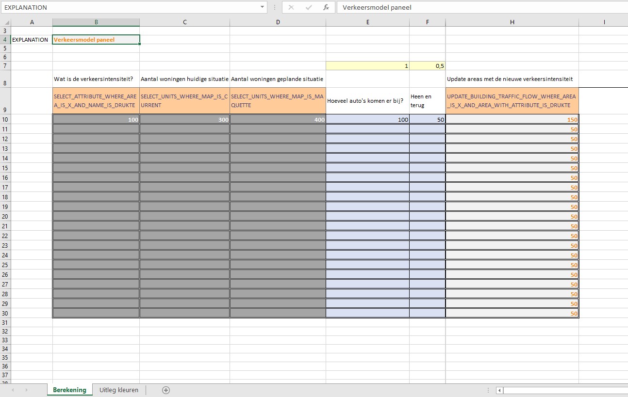
 Example traffic model excel.jpg 1,434 × 840; 206 KB
 Example traffic model excel panel.jpg 1,294 × 820; 206 KB
 Excel panel.jpg 1,294 × 819; 204 KB
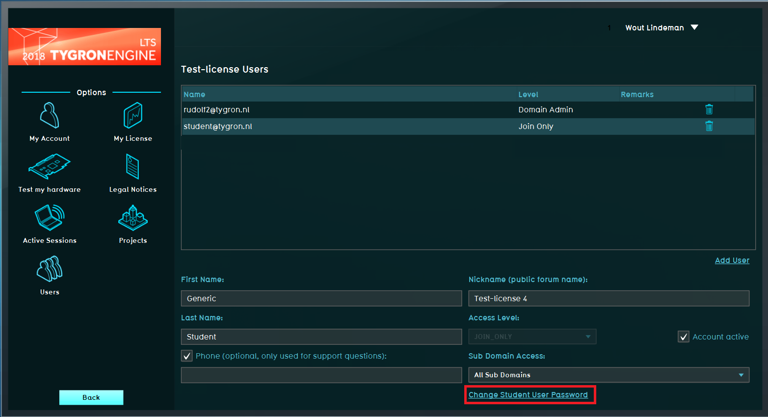 Change student password.png 1,565 × 850; 143 KB
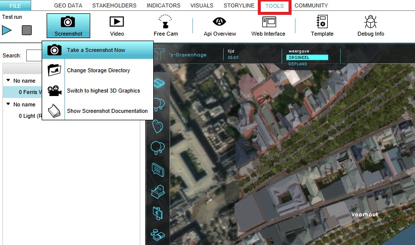 Tools bar.jpg 837 × 495; 112 KB
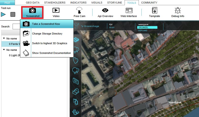 Screenshot bar.jpg 837 × 495; 112 KB
 Take screenshot.jpg 837 × 495; 113 KB
 Change dir.jpg 837 × 495; 113 KB
 3d graphics.jpg 837 × 495; 114 KB
 Free cam ribbon bar.jpg 863 × 498; 113 KB
 Start free cam navigation.jpg 863 × 498; 113 KB
 Switch to high 3d graphics.jpg 863 × 498; 114 KB
 Tools video.jpg 847 × 475; 117 KB
 Video ribbon bar.jpg 847 × 475; 117 KB
 Start video recording.jpg 847 × 475; 118 KB
 Switch 3D graphics.jpg 847 × 475; 118 KB
 Change directory.jpg 847 × 475; 119 KB
 Left panel indicators.jpg 298 × 341; 24 KB
 Top bar indicators eng.jpg 1,072 × 90; 36 KB
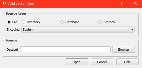 Add vector layer.jpg 476 × 228; 20 KB
 Coordinate reference system.jpg 984 × 587; 78 KB
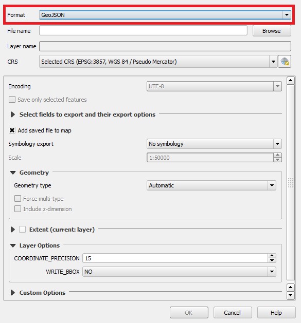 Format.jpg 585 × 629; 70 KB
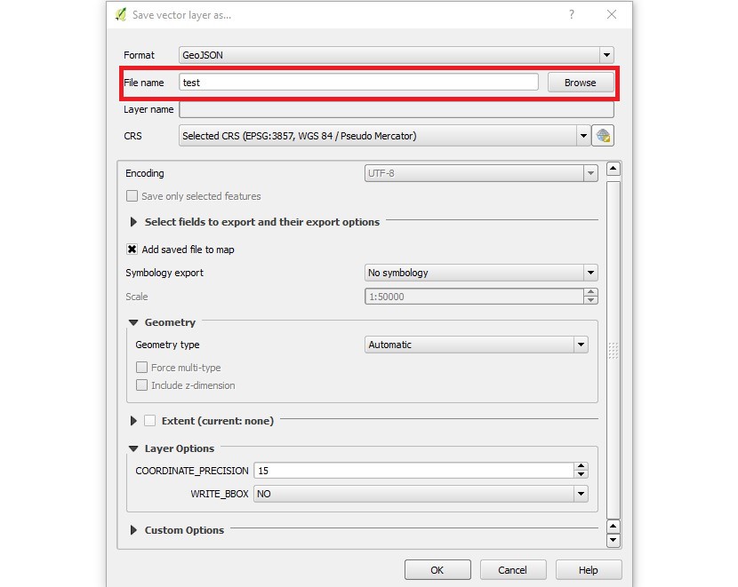 File name.jpg 830 × 661; 74 KB
 Select crs.jpg 752 × 626; 75 KB
 Select save as.jpg 647 × 536; 43 KB
 New file added.jpg 451 × 307; 14 KB
 New window.jpg 585 × 629; 66 KB
 Choose name.jpg 585 × 629; 70 KB
 Choose crs.jpg 585 × 629; 70 KB
 Select ok.jpg 588 × 627; 69 KB
 Select layer.jpg 454 × 436; 45 KB
 Add layer.jpg 568 × 426; 83 KB
 Select vector layer.jpg 571 × 431; 83 KB
 Add vector layer1.jpg 476 × 228; 21 KB
 Layer panel.jpg 327 × 256; 13 KB
 Terrain.JPG 503 × 380; 30 KB
 Add heat stress.JPG 942 × 549; 156 KB
 Reset.JPG 528 × 454; 76 KB
 Housing target panel.JPG 432 × 405; 27 KB
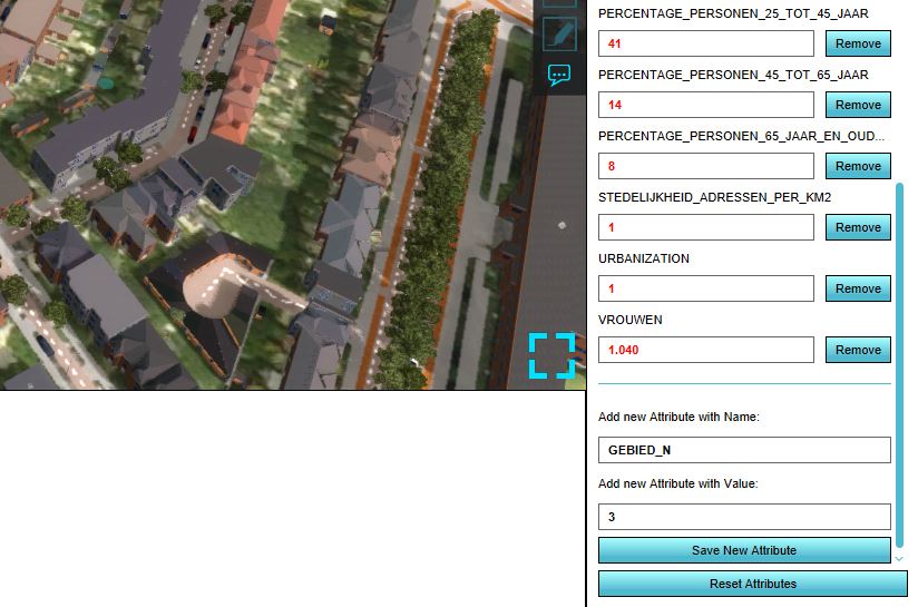
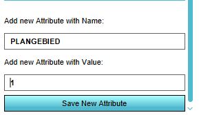 Add attribute plangebied.JPG 289 × 167; 17 KB
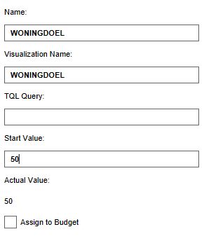 Global woningdoel.JPG 291 × 354; 20 KB
 Safety indicator .png 252 × 205; 57 KB
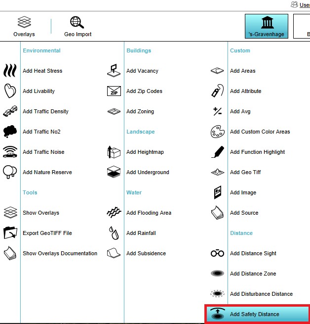 Add safety distance overlay.jpg 628 × 655; 74 KB
 Overkluizing.jpg 297 × 361; 21 KB
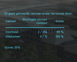
 Gevaarlijk vervoer.jpg 288 × 376; 21 KB
 Protest indicator panel.jpg 514 × 293; 29 KB
 Groundwater1.png 710 × 411; 54 KB
 Groundwater2.png 778 × 489; 16 KB
 Groundwater explain.png 525 × 699; 130 KB
 Groundwater explain2.png 558 × 683; 162 KB
 Green MKP indicator.png 607 × 471; 256 KB
 Geo data safety distance overlay.jpg 1,224 × 786; 191 KB
 Overlays bar safety distance.jpg 1,224 × 786; 192 KB
 Add safety distance.jpg 1,224 × 786; 192 KB
 Safety distance overlay list.jpg 898 × 538; 121 KB
 Safety distance overlay selected.jpg 488 × 780; 69 KB
 Remove safety distance overlay.jpg 361 × 980; 51 KB
 Confirm removal safety distance overlay.jpg 1,078 × 691; 193 KB
 Safety distance overlay 3d world.jpg 1,076 × 692; 222 KB
 Safety distance overlay hover.jpg 1,078 × 696; 229 KB
 Student housing indicator.PNG 371 × 294; 111 KB
 Housing target.jpg 316 × 236; 16 KB
 Housing score.jpg 318 × 272; 17 KB
 Satefy distance.JPG 765 × 310; 32 KB
 Import area.png 917 × 369; 246 KB
 Boxshadow.png 230 × 3; 3 KB
 Overlay icon custom color areas.png 55 × 55; 1,013 bytes
 Overlay icon difference.png 38 × 38; 347 bytes
 Overlay icon disturbance distance.png 55 × 55; 1 KB
 Overlay icon safety distance.png 55 × 55; 1,006 bytes
 Overlay icon flooding area.png 55 × 55; 1,018 bytes
 Overlay icon ground water.png 55 × 55; 2 KB
 Overlay icon water debug walls.png 55 × 55; 1 KB
 SelectOverlayPopUp2.jpg 643 × 656; 92 KB
 OverlayParameters2.jpg 683 × 917; 173 KB
 Waterwizard icon avg water areas.png 40 × 40; 1 KB
 Waterwizard icon dry large.png 85 × 85; 3 KB
 Waterwizard icon evaporation.png 40 × 40; 2 KB
 Waterwizard icon horizontal infiltration.png 40 × 40; 2 KB
 Waterwizard icon introduction.png 394 × 300; 40 KB
 Waterwizard icon map layer.png 175 × 112; 8 KB
 Waterwizard icon rain.png 40 × 40; 888 bytes
 Waterwizard icon rain large.png 85 × 85; 2 KB
 Waterwizard icon result type.png 40 × 40; 2 KB
 Waterwizard icon timeframes.png 40 × 40; 2 KB
 Waterwizard icon upper threshold.png 40 × 40; 2 KB
 Waterwizard icon urbanization.png 40 × 40; 2 KB
 Waterwizard icon water area layer.png 175 × 112; 2 KB
 Waterwizard icon water areas schematic.png 400 × 300; 37 KB
 Waterwizard icon water height.png 40 × 40; 2 KB
 Waterwizard icon water level layer.png 175 × 112; 3 KB
 Waterwizard icon weir layer.png 175 × 112; 2 KB
 Waterwizard icon weir speed attribute.png 40 × 40; 2 KB
 Waterwizard icon weir type.png 40 × 40; 1 KB
 Overlay icon water evaporated.png 55 × 55; 1 KB
 Help mini.png 16 × 16; 226 bytes
 DamBreachMovieThumb1.png 1,174 × 664; 1.26 MB
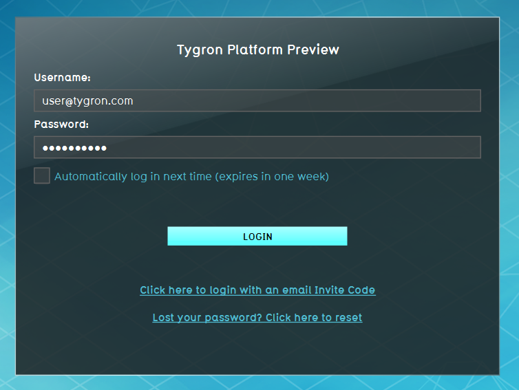 LogIn1.png 754 × 567; 177 KB
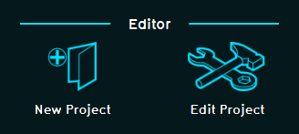 CreateOrLoadProject1.png 328 × 147; 8 KB
 GettingStarted1.png 1,000 × 613; 343 KB
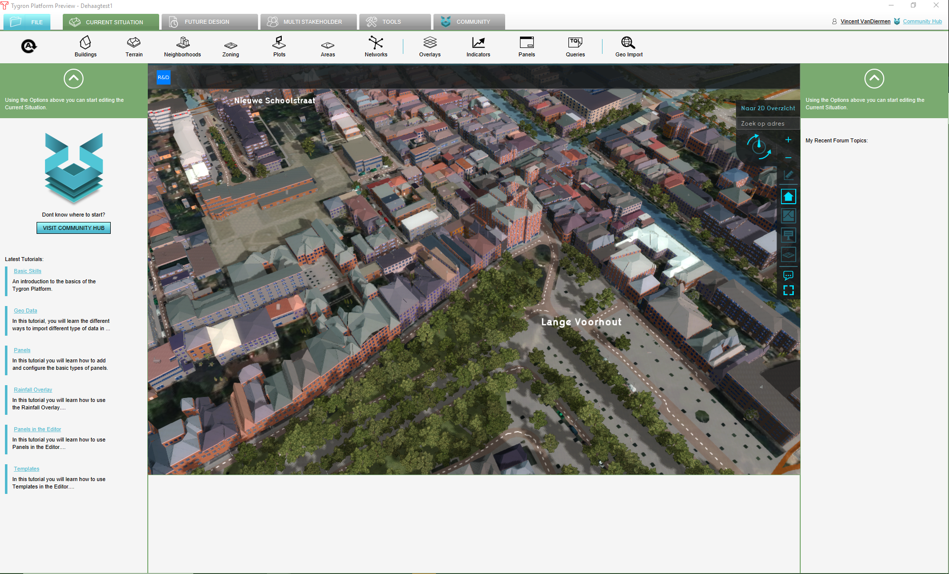 ProjectInEditor1.png 1,920 × 1,161; 2.1 MB
 GridCellWarning1.png 237 × 29; 8 KB
 GridOverlayRightSidePanel1.png 300 × 807; 22 KB
 AdjustGridSizePanel1.png 585 × 392; 9 KB
 GridSize1.png 540 × 240; 3 KB
 SelectWaterOverlayPopUp1.jpg 643 × 656; 92 KB
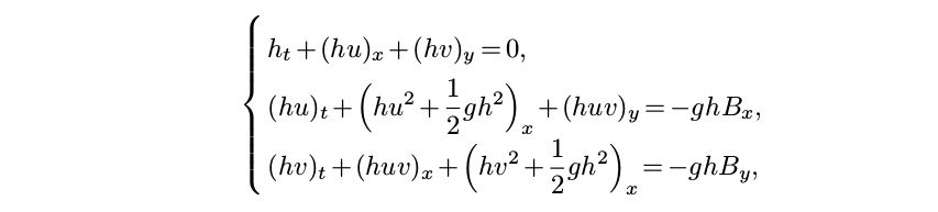 2D-Saint-Venant system.png 853 × 193; 18 KB
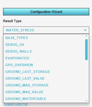 ResultTypeDropDownMenu1.jpg 297 × 348; 22 KB
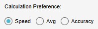 SetCalculationPrefs1.jpg 197 × 59; 4 KB
 PlaceholderImg1.png 240 × 240; 3 KB
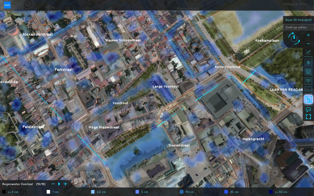 RainfallOverlay3.jpg 1,319 × 825; 369 KB
 RainfallOverlayminiMap1.jpg 386 × 464; 62 KB
 GridOverlayPlayerBtns1.jpg 510 × 133; 23 KB
 GridOverlayPlayerBtns2.jpg 800 × 500; 110 KB
 RainfallHoverpanel1.jpg 379 × 298; 40 KB
 LineMeasurementRainfall1.jpg 694 × 586; 126 KB
 PointMeasurementRainfall1.jpg 720 × 589; 126 KB
 StoredMeasurementsRainfall1.jpg 768 × 795; 138 KB
 Sewer overflow model2.png 683 × 487; 19 KB
 Sewer overflow model.png 712 × 580; 42 KB
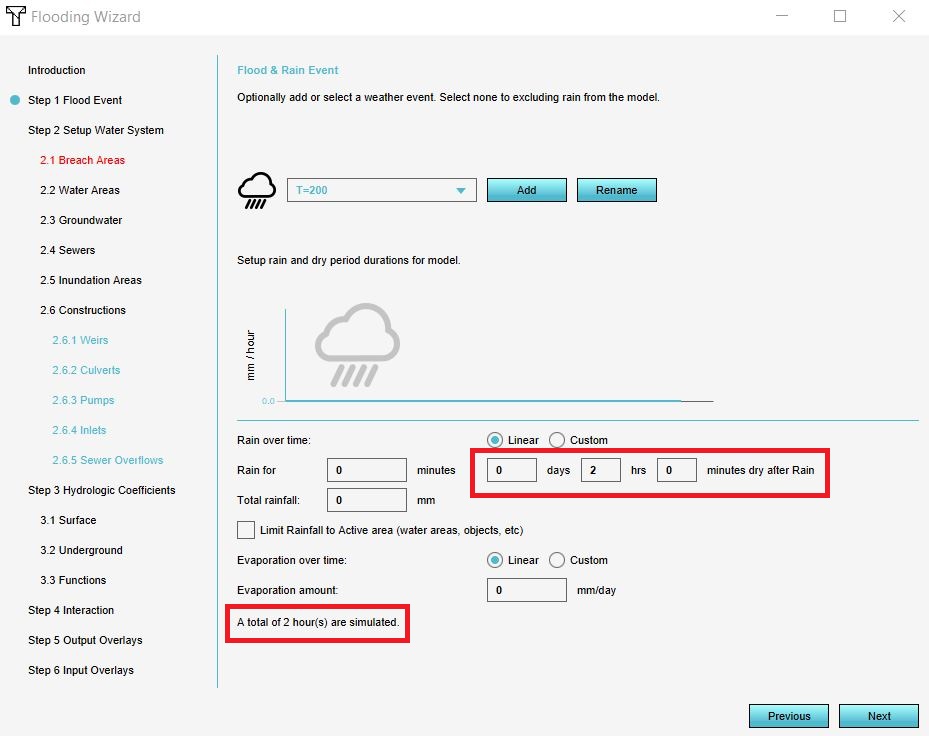
 FloodingWizardFloodEvent1.jpg 886 × 743; 74 KB
 Underground model.png 871 × 434; 47 KB
 Undergroundflow.png 649 × 435; 34 KB
 Configure button.png 100 × 100; 5 KB
 Tips button.png 100 × 100; 4 KB
 Use cases button.png 100 × 100; 4 KB
 Gezondheid.jpg 328 × 178; 15 KB
 Verkoeling.jpg 308 × 261; 27 KB
 Neighborhood attribute.JPG 824 × 545; 81 KB
 Add area.JPG 704 × 994; 105 KB
 User management tutorial.png 384 × 304; 113 KB
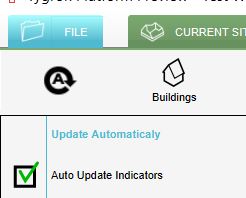 Auto update on.JPG 246 × 198; 16 KB
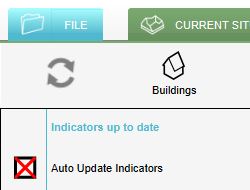 Auto update off.JPG 250 × 190; 15 KB
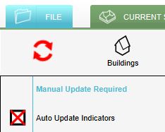 Manual update.JPG 234 × 187; 15 KB
 Community hub.png 586 × 162; 59 KB
 Topbar indicators.png 1,081 × 84; 142 KB
 Topbar Indicators.png 1,081 × 84; 143 KB
 Index in indicatorpanel.png 413 × 425; 23 KB
 Export geojson file.JPG 543 × 396; 44 KB
 Export options.JPG 583 × 288; 25 KB
 Editor ribbon header futuredesign.jpg 1,556 × 103; 34 KB
 Editor ribbon header multistakeholder.jpg 1,552 × 102; 35 KB
 Testbed ConstructionAttribute5.jpg 375 × 350; 40 KB
 Sewer model.png 887 × 536; 120 KB
 Add function.JPG 606 × 115; 19 KB
 Kockengen figure05.PNG 884 × 744; 36 KB
 Kockengen figure09.PNG 918 × 786; 30 KB
 Kockengen figure12.PNG 885 × 744; 42 KB
 Kockengen figure16.PNG 856 × 744; 52 KB
 Main menu options.jpg 290 × 359; 27 KB
 Invite 2019.jpg 458 × 170; 19 KB
 Actions.png 305 × 131; 62 KB
 LTS Release 2019 header.png 800 × 333; 94 KB
 Editor game interface maximize.jpg 263 × 191; 72 KB
 Interface game 3D Visualization.jpg 1,511 × 920; 258 KB
 Kockengen tutorial rain event.JPG 933 × 741; 62 KB
 Kockengen tutorial sewer areas.JPG 951 × 791; 50 KB
 StakeholderTab.jpg 912 × 104; 25 KB
 Stakeholder types.png 292 × 407; 7 KB
 Update tql.JPG 1,140 × 689; 110 KB
 Building import.PNG 936 × 743; 36 KB
 Import building.png 421 × 421; 41 KB
 Waterlevel p6 case4 ukbm.png 472 × 391; 18 KB
 Overlay icon heat bowen ratio.png 55 × 55; 2 KB
 Overlay icon heat.png 55 × 55; 1 KB
 Constructionspanel-2019.jpg 303 × 1,032; 64 KB
 Constructionspanel small-2019.jpeg 200 × 681; 35 KB
 Indicator editor panel parking.jpg 200 × 686; 31 KB
 Indicator target panel parking.jpg 800 × 117; 15 KB
 WizardRealDataSelectSize.jpg 1,306 × 783; 187 KB
 WizardRealDataFull.jpg 1,306 × 783; 187 KB
 WizardSelectArea.jpg 1,306 × 783; 190 KB
 WizardGenerateButton.jpg 1,306 × 783; 187 KB
 WizardSelectTemplate.jpg 782 × 782; 98 KB
 WizardGenerated3DWorldTemplate.jpg 1,920 × 1,160; 436 KB
 Interface game minimap.jpg 370 × 399; 50 KB
 Stakeholder dropdown menu.jpg 685 × 641; 121 KB
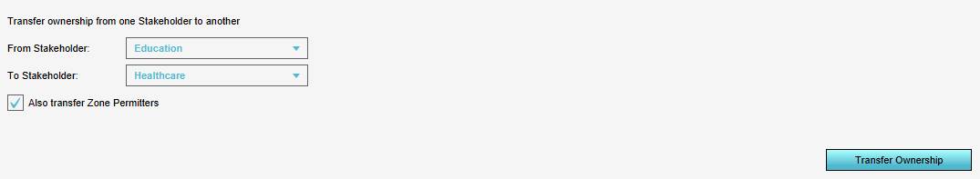 Transfer ownership.png 1,075 × 197; 6 KB
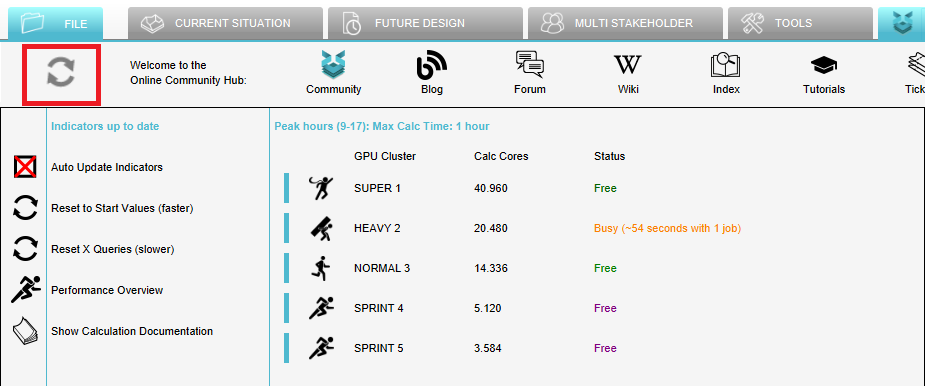 Calculation panel peak hours.png 925 × 386; 44 KB
 Sun motion angles (Heat Overlay).png 545 × 692; 79 KB
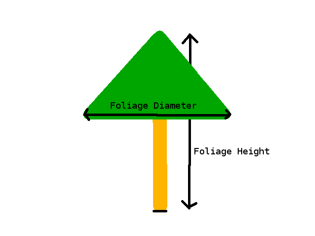 Foliage diameter.png 640 × 480; 6 KB
 OculusDK2-1.jpg 550 × 394; 25 KB
 SelectDK2-1a.jpg 500 × 301; 27 KB
 Wss 1.JPG 678 × 657; 79 KB
 Wss impacted.JPG 929 × 740; 70 KB
 Wss reset x.JPG 949 × 456; 62 KB
 Wss select id.JPG 780 × 488; 30 KB
 Wss excel new.JPG 1,100 × 635; 143 KB
 Wss install.JPG 823 × 657; 78 KB
 Wss done install.JPG 793 × 658; 79 KB
 Wss indicator panel.JPG 400 × 444; 40 KB
 Wss function values.JPG 919 × 481; 77 KB
 Change grid.JPG 300 × 499; 30 KB
 Example boomkronen.JPG 892 × 706; 83 KB
 Foliage areas in platform.JPG 1,327 × 469; 110 KB
 Heat-step3.PNG 936 × 793; 25 KB
 Heat-step3.1.PNG 936 × 793; 22 KB
 Heat-step3.2.PNG 936 × 793; 20 KB
 Heat-step4.PNG 936 × 793; 32 KB
 Weirs angel.jpg 930 × 790; 86 KB
 Wageningen project area.PNG 666 × 375; 336 KB
 Wageningen project area th.PNG 666 × 375; 336 KB
 Difference overlay.png 110 × 110; 6 KB
 Difference overlay icoon.jpg 110 × 110; 6 KB
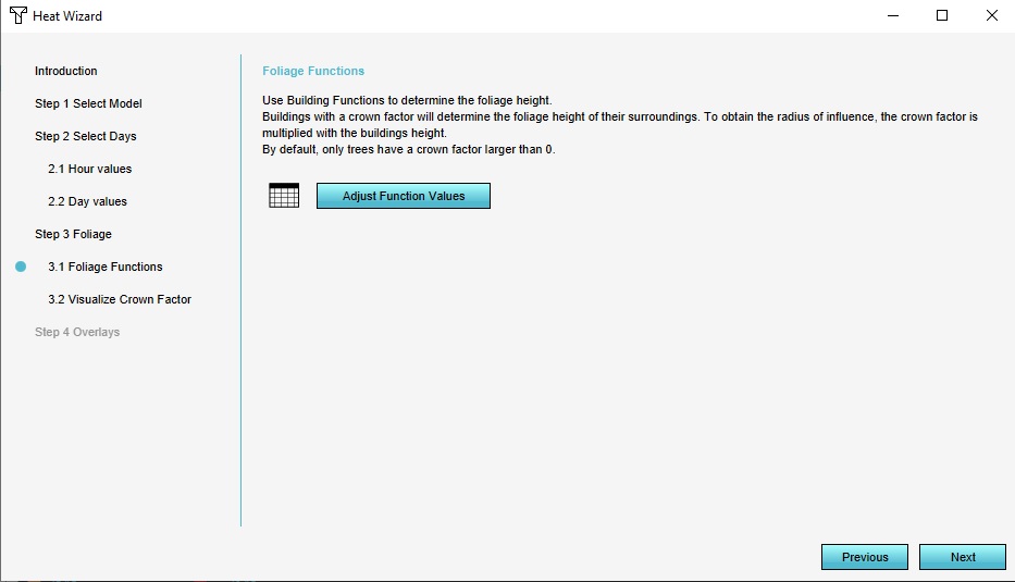 Step 3.1 Foliage Functions.jpg 933 × 535; 54 KB
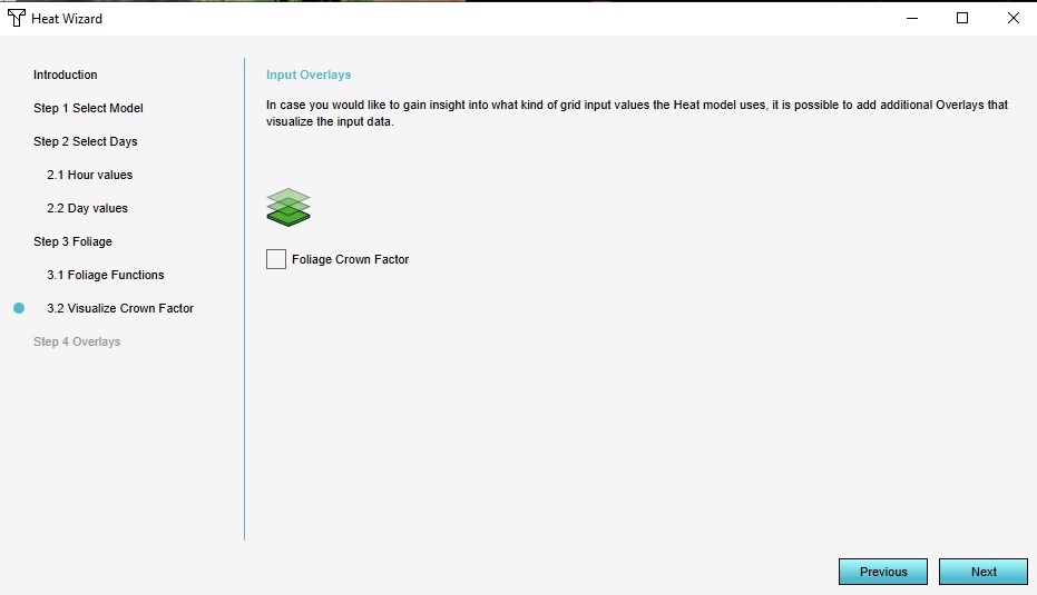 Step 3.2 Visualize Crown Factor.jpg 931 × 535; 48 KB
 General tab kockengen tut.JPG 288 × 644; 31 KB
 Simulation period.JPG 929 × 736; 99 KB
 Naming peilgebied.JPG 929 × 451; 35 KB
 Water level peilgebieden.JPG 924 × 333; 32 KB
 Ahn naming.JPG 934 × 468; 34 KB
 Ahn water level.JPG 930 × 405; 32 KB
 PE Temperature.jpg 1,082 × 684; 378 KB
 PE Temperature Relative.jpg 1,079 × 681; 324 KB
 Other child overlays.jpg 1,079 × 681; 281 KB
 Demolish.jpg 1,080 × 682; 228 KB
 Build trees.jpg 1,078 × 684; 211 KB
 Help.jpg 290 × 117; 12 KB
 New project sources.jpg 1,115 × 667; 212 KB
 Empty project or template.jpg 669 × 666; 95 KB
 Area size.jpg 1,115 × 667; 228 KB
 Selection or empty map.jpg 1,117 × 669; 223 KB
 Sky view data.JPG 1,319 × 695; 344 KB
 Shade.jpg 1,321 × 711; 281 KB
 Terrain height brush bottom.jpg 560 × 198; 37 KB
 Editor ribbon header community.jpg 1,334 × 105; 28 KB
 Editor ribbon header tools.jpg 1,167 × 105; 20 KB
 Editor ribbon icon community.png 30 × 30; 1 KB
 Paste wfs.JPG 916 × 782; 48 KB
 View area.JPG 1,915 × 734; 354 KB
 Advanced settings.JPG 1,116 × 670; 210 KB
 NSL attributes.JPG 297 × 716; 50 KB
 QA wanner terrain building wiki.jpg 384 × 200; 102 KB
 QA parametrisch ontwerpen wiki.jpg 384 × 200; 96 KB
 QA testrun wiki.jpg 384 × 200; 95 KB
 QA wanner terrain building wiki3.jpg 384 × 200; 102 KB
 QA verschil terrains buildings measures wiki.jpg 384 × 200; 109 KB
 QA verschil terrains buildings measures wiki2.jpg 384 × 200; 109 KB
 QA verkeersbronnen wiki.jpg 384 × 200; 94 KB
 QA NWBID wiki.jpg 384 × 200; 101 KB
 Polygons exporteren wiki.png 384 × 200; 121 KB
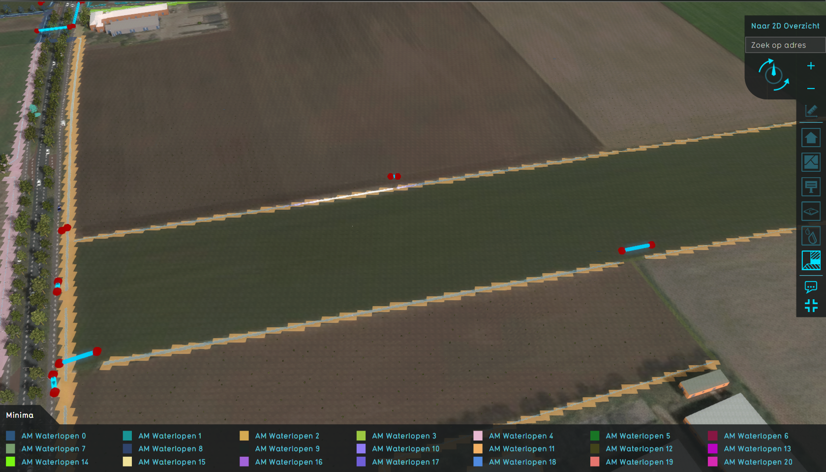
 Watershed discharge areas initial.png 1,676 × 963; 1.52 MB
 Watershed discharge areas culverts.png 1,679 × 959; 1.52 MB
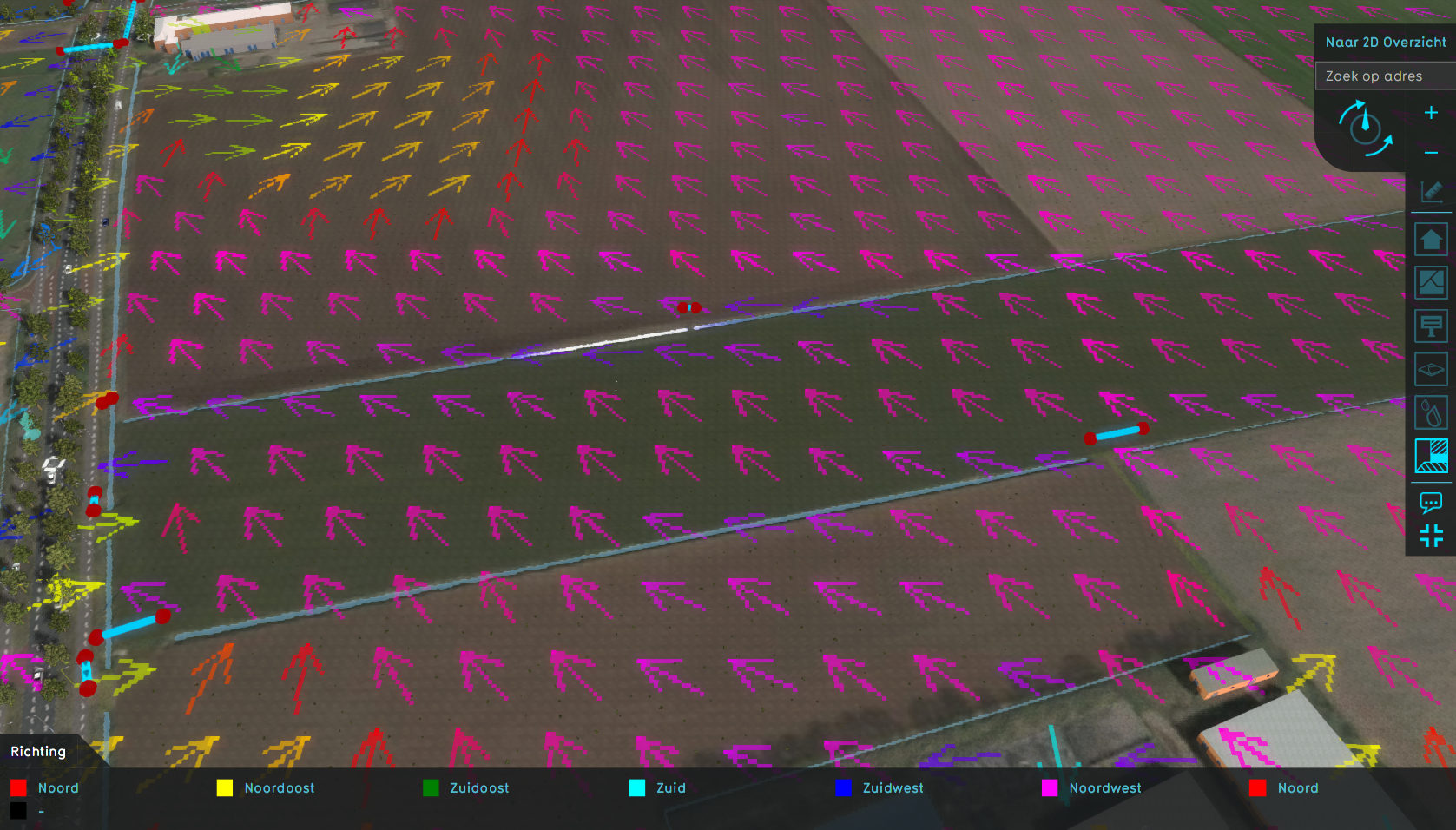 Watershed direction.png 1,677 × 956; 1.79 MB
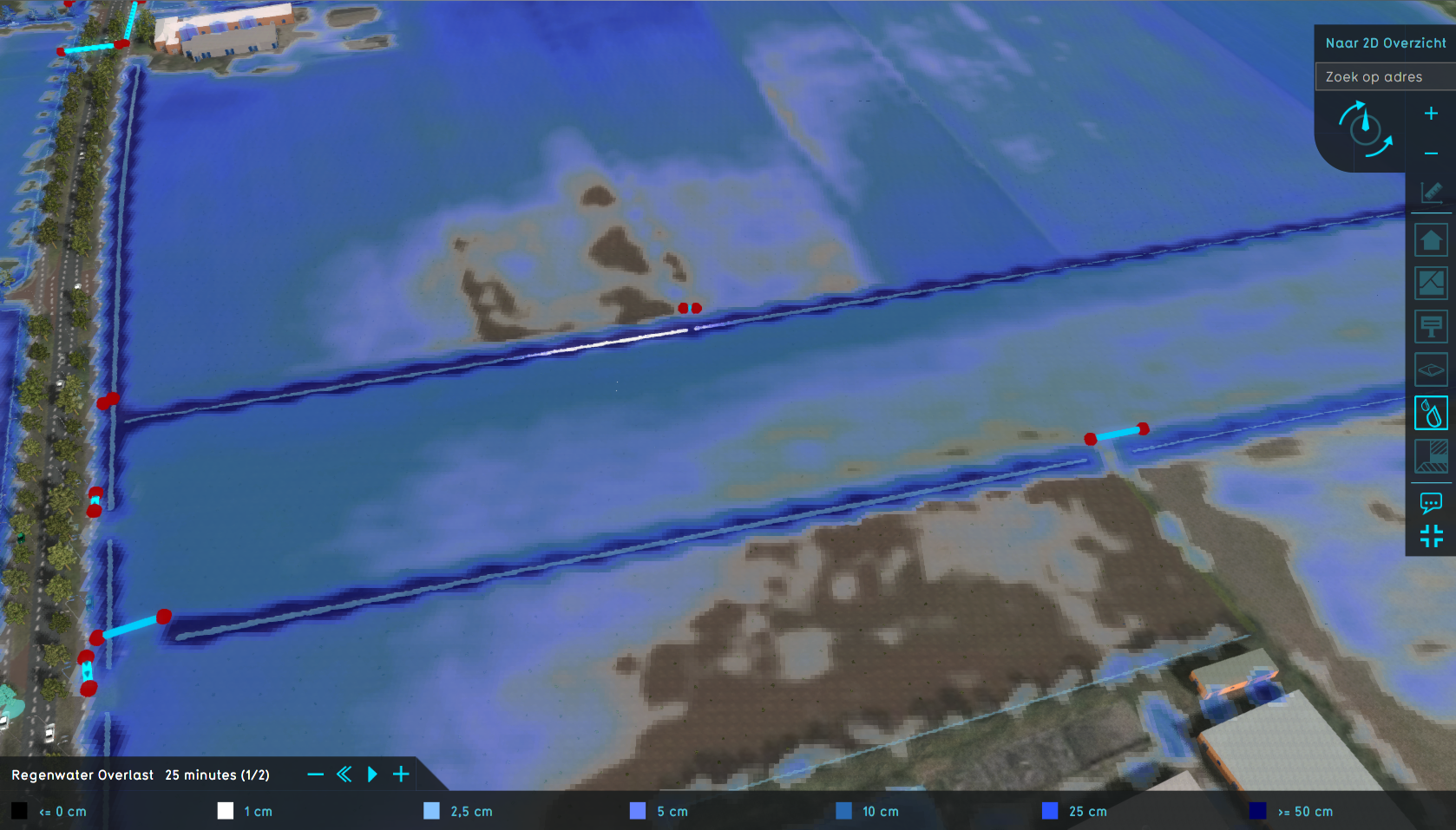 Watershed water level.png 1,678 × 957; 1.44 MB
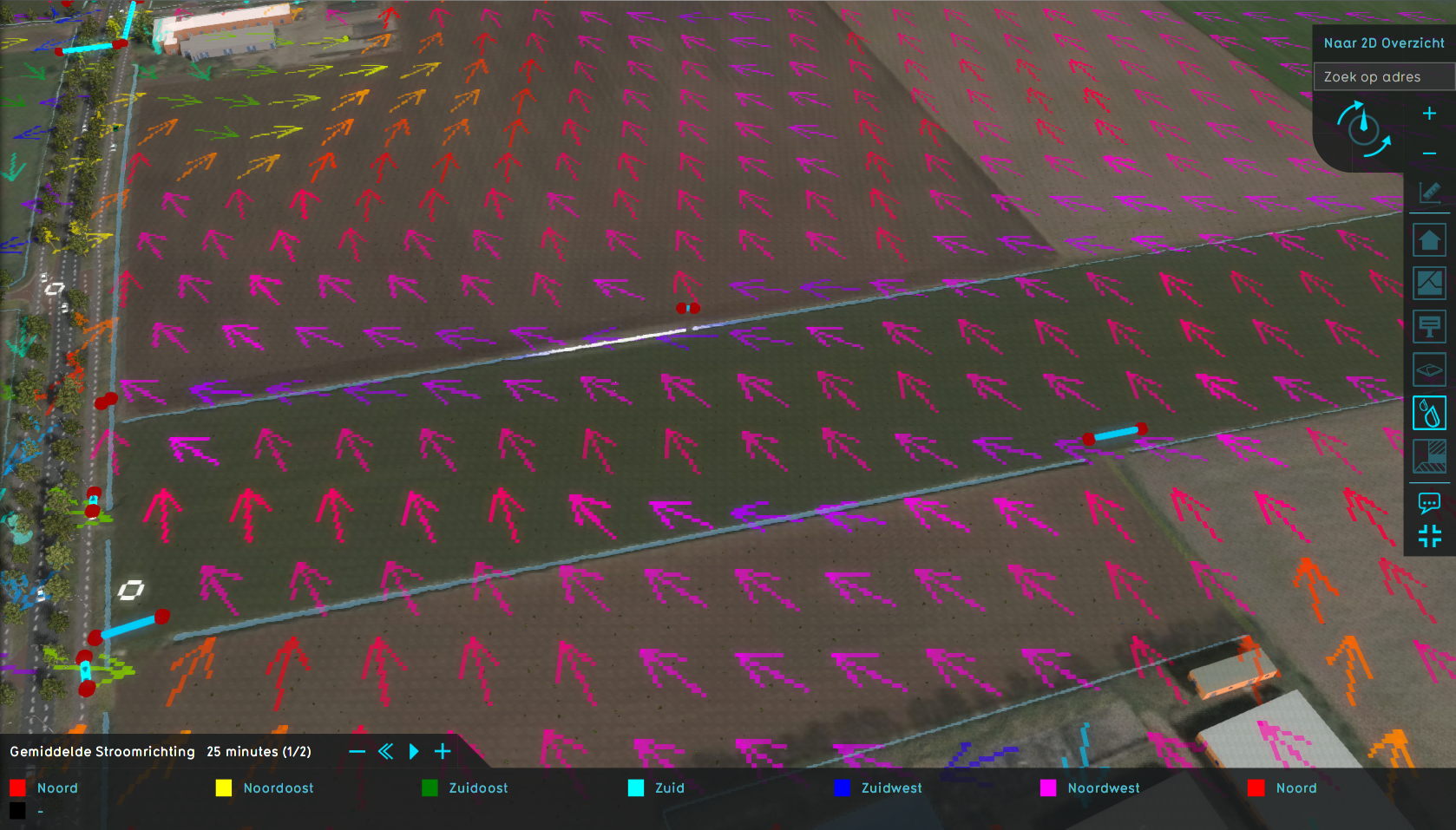 Watershed water direction.png 1,678 × 957; 1.76 MB
 WaterConnectionGenerator.png 650 × 350; 25 KB
 Small straight.jpeg 1,078 × 676; 42 KB
 Large straight.jpeg 1,077 × 673; 40 KB
 Aeriuswizard icon plan category amounts.png 40 × 40; 5 KB
 Placeholder100x100.jpg 100 × 100; 4 KB
 Parametric design selection.jpg 1,078 × 659; 65 KB
 Parametric design panel.jpg 297 × 917; 37 KB
 Parametric design functions.jpg 293 × 915; 13 KB
 Parametric design layout.jpeg 1,078 × 661; 109 KB
 Parametric design application.jpeg 1,077 × 661; 104 KB
 Parametric design spaced.jpeg 1,078 × 659; 109 KB
 Parametric design demo example tweaked 1.jpg 239 × 48; 5 KB
 Parametric design demo example tweaked 2.jpg 239 × 48; 5 KB
 Parametric design demo example tweaked 3.jpg 239 × 48; 4 KB
 Demo project parametric design.jpg 1,918 × 1,015; 774 KB
 Parametric design demo example predefined 1.jpg 1,918 × 1,015; 705 KB
 Parametric design demo example predefined 2.jpg 1,918 × 1,015; 636 KB
 Parametric design demo example tweaked 4.jpg 1,918 × 1,015; 644 KB
 Parametric design demo example created 1.jpg 1,918 × 1,015; 554 KB
 Parametric design demo example created 2.jpg 1,918 × 1,015; 617 KB
 Parametric design demo example mixed 1.jpg 1,918 × 1,015; 658 KB
 Waterwijzer button.png 30 × 30; 1 KB
 Demo project ww agriculture.jpg 1,920 × 1,017; 502 KB
 Demo ww agricultiure indexation panel.jpg 650 × 400; 64 KB
 Pie chart parametric.jpg 746 × 190; 65 KB
 Green indicator parametric.jpg 848 × 657; 320 KB
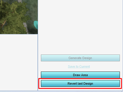
 Revert last design.jpg 434 × 380; 89 KB
 Parametric design right panel.jpg 297 × 782; 93 KB
 Add parametric design.jpg 297 × 475; 57 KB
 Parametric functions.jpg 297 × 470; 38 KB
 Road value.jpg 800 × 491; 150 KB
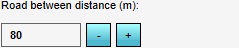
 Road between distance.jpg 226 × 63; 18 KB
 Parametric designs urban.jpg 1,200 × 634; 515 KB
 ParamConcept1.jpg 300 × 476; 17 KB
 ParamParameters1.jpg 301 × 841; 44 KB
 Example dtm.PNG 1,326 × 646; 1.8 MB
 Large road straight setting.png 697 × 399; 36 KB
 CSV-logo1.jpg 256 × 256; 14 KB
 CSV-logo1.png 256 × 256; 18 KB
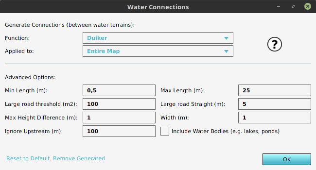
 Generate water connections.png 300 × 272; 46 KB
 AddRainfallOverlay1.jpg 747 × 508; 72 KB
 ProjectInEditor1.jpg 1,918 × 1,161; 322 KB
 DTM 2.jpg 1,070 × 364; 491 KB
 Hover panel network overview.jpg 1,093 × 407; 214 KB
 Green indicator panel parametric 2.jpg 914 × 679; 112 KB
 Parametric design demo example executed 2.jpg 1,916 × 1,129; 561 KB
 Parametric design demo example predefined2.jpg 1,920 × 1,132; 492 KB
 Pie chart parametric2.jpg 658 × 170; 21 KB
 Parametric design demo example executed 3.jpg 1,919 × 1,134; 534 KB
 Parametric design demo example predefined 3.jpg 1,920 × 1,129; 590 KB
 Pie chart parametric 3.jpg 661 × 180; 23 KB
 Parametric design right panel 2.jpg 249 × 856; 47 KB
 Parametric design right panel 2a.jpg 249 × 749; 39 KB
 Apply btn1.jpg 294 × 97; 8 KB
 Apply btn1a.jpg 294 × 97; 9 KB
 Streetview.JPG 1,319 × 710; 151 KB
 Cost Budget.JPG 1,322 × 713; 198 KB
 Network Ownership Hover.jpg 1,321 × 698; 198 KB
 Parametric design demo example predefined 4.jpg 1,321 × 832; 310 KB
 Parametric design demo example applied 4.jpg 1,322 × 830; 299 KB
 Parametric design right panel 4a.jpg 273 × 612; 41 KB
 Parametric design demo example tweaked 4a.jpg 272 × 79; 5 KB
 Querries.JPG 1,348 × 514; 137 KB
 Default parametric design values1.jpg 301 × 728; 45 KB
 Parametric functions-2.jpg 300 × 751; 29 KB
 Road Tab-1.jpg 250 × 563; 31 KB
 Plot Tab-1.jpg 250 × 563; 33 KB
 Plot Tab-2.jpg 250 × 604; 33 KB
 Plot Tab-3.jpg 249 × 154; 11 KB
 List Of ParamDesigns-1.jpg 250 × 671; 32 KB
 Combo Overlay with masking1.jpg 1,325 × 834; 301 KB
 Drainage aquifer benchmark.gif 390 × 289; 12 KB
 Location Delft tutorial.PNG 1,304 × 783; 1.39 MB
 Grid av.jpg 887 × 484; 126 KB
 Combo Overlay.jpg 1,177 × 718; 183 KB
 Drainage.jpg 1,281 × 719; 183 KB
 Parametric 001.jpg 433 × 324; 54 KB
 Parametric 002.jpg 433 × 324; 40 KB
 Parametric 003.jpg 433 × 324; 47 KB
 Parametric 004.jpg 433 × 324; 51 KB
 Parametric 005.jpg 433 × 324; 29 KB
 Parametric 006.jpg 700 × 616; 108 KB
 Parametric 007.jpg 992 × 193; 55 KB
 Parametric 008.jpg 433 × 324; 30 KB
 Rectangular culvert.jpg 1,920 × 1,080; 330 KB
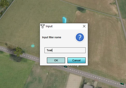 Add filter 002.jpg 521 × 366; 44 KB
 Culvert width.png 100 × 100; 9 KB
 Max water depth.png 100 × 100; 11 KB
 Max water bottom.png 100 × 100; 10 KB
 Attribute Tab1.jpg 301 × 350; 23 KB
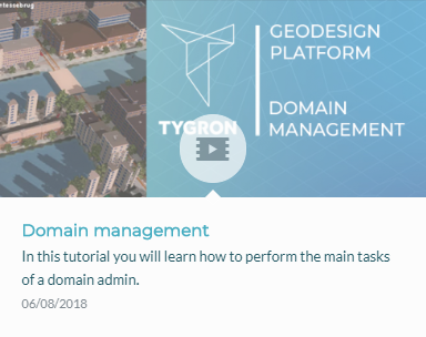
 Video tutorial Domain management.jpg 1,279 × 719; 119 KB
 Recalculate panel2.jpg 940 × 472; 71 KB
 SEssion setup.jpg 693 × 389; 59 KB
 Facilitator tutorial.jpg 701 × 392; 79 KB
 Admin interface.jpg 702 × 391; 79 KB
 How to play.jpg 700 × 393; 75 KB
 Indicators.jpg 701 × 394; 50 KB
 Overlays VT.jpg 700 × 394; 49 KB
 Overlays results.jpg 701 × 393; 67 KB
 Templates.jpg 700 × 394; 54 KB
 Duiker.jpg 1,274 × 716; 118 KB
 Bresgroei modelleren.jpg 1,281 × 719; 106 KB
 Lang rekenen.jpg 1,277 × 717; 111 KB
 Neerslag Radar.jpg 1,277 × 723; 113 KB
 Override buildings.PNG 1,323 × 202; 18 KB
 Basemaphoefkade3.png 629 × 396; 581 KB
 Basemaphoefkade4.png 629 × 396; 580 KB
 Heatstreeshoefkade4.png 629 × 396; 547 KB
 Basemaphoefkade1.png 866 × 400; 718 KB
 Waterstreeshoefkade0.png 1,320 × 832; 1.95 MB
 Summary poster - virtual river game.pdf ; 1.24 MB
 VirtualGame2.png 540 × 462; 37 KB
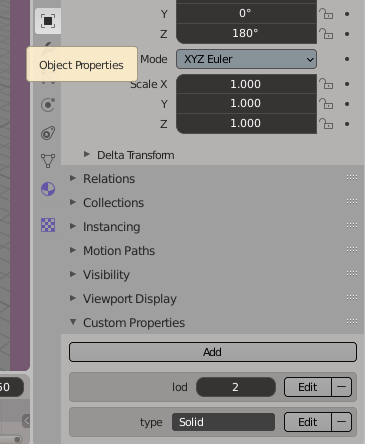 Object properties.png 365 × 444; 29 KB
 Environment CRS.png 362 × 327; 23 KB
 Nieuwe kaartlaag.png 459 × 624; 50 KB
 Qgis pseudo mercator.png 857 × 862; 79 KB
 Export DXF2.jpg 614 × 716; 72 KB
 Bridges.jpg 1,274 × 716; 126 KB
 Inlet capacity.jpg 1,276 × 718; 115 KB
 Inlet-outlet.jpg 1,279 × 715; 113 KB
 Sessies movie.jpg 1,274 × 720; 120 KB
 Admin interface video.jpg 1,275 × 717; 117 KB
 Facilitator.jpg 1,278 × 676; 179 KB
 Edu manual feature 2.jpg 845 × 321; 58 KB
 Demo projects.jpg 1,247 × 965; 338 KB
 Demo waardassacker.jpg 1,320 × 712; 371 KB
 Learning1.jpg 840 × 791; 130 KB
 Learning1.png 840 × 791; 299 KB
 Water1.jpg 860 × 1,040; 62 KB
 Lecturer1.jpg 3,872 × 2,592; 1.03 MB
 PowerpointLogo1.jpg 187 × 173; 6 KB
 UrbanPlanning1.jpg 800 × 618; 140 KB
 Trafficwizard icon base no2.png 100 × 100; 3 KB
 Trafficwizard icon background db.png 100 × 100; 3 KB
 Htriver-1-vlakken.jpg 1,320 × 842; 156 KB
 Htriver-3-waterstand.jpg 1,320 × 842; 169 KB
 Htriver-4-polder.jpg 1,320 × 842; 151 KB
 Average overlay.JPG 297 × 390; 28 KB
 Breach input area.png 627 × 242; 150 KB
 Breach-top.png 800 × 400; 20 KB
 Breach-side.png 800 × 339; 28 KB
 Breach-side2.png 800 × 339; 28 KB
 Breach-top2.png 800 × 400; 23 KB
 Breach-side3.png 800 × 339; 28 KB
 Breach-top3.png 800 × 400; 21 KB
 Breach-top4.png 800 × 400; 27 KB
 Breach-side4.png 800 × 339; 32 KB
 Breach-side5.png 800 × 339; 32 KB
 Weir drop time.png 100 × 100; 6 KB
 GeoPluginTutorial-geoplugin-source-configured.jpg 350 × 200; 21 KB
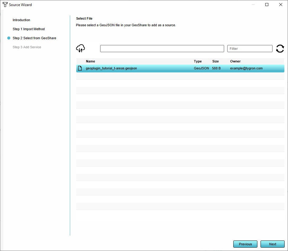 GeoPluginTutorial-source-wizard-geojson.jpg 952 × 832; 68 KB
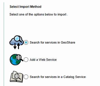 GeoPluginTutorial-source-wizard-geoshare.jpg 350 × 300; 20 KB
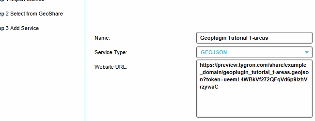 GeoPluginTutorial-source-wizard-url.jpg 650 × 250; 28 KB
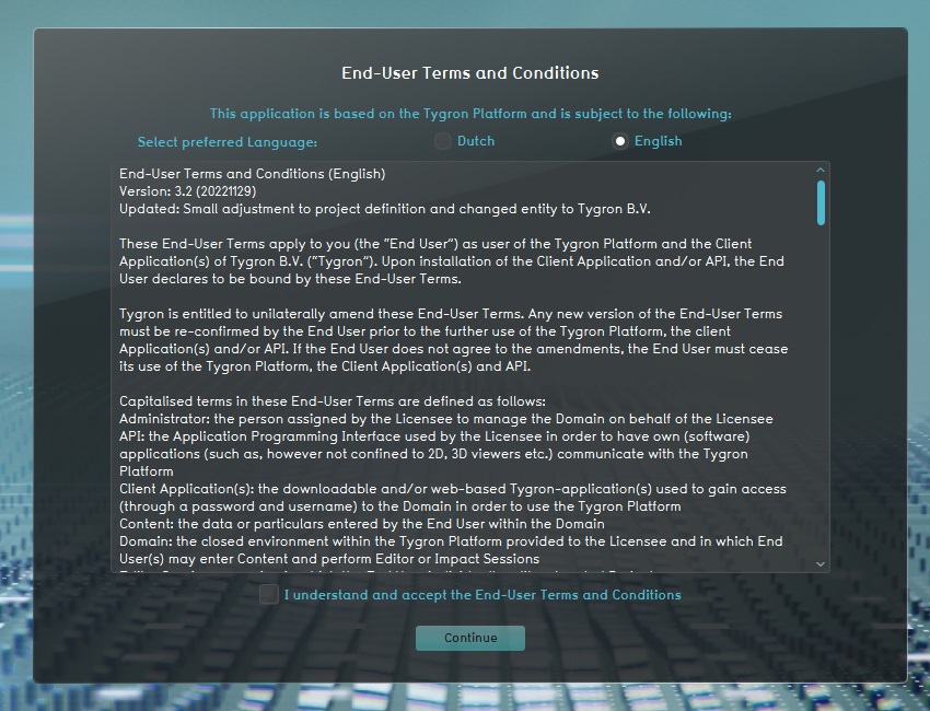 Basics-editor-gsanu-eula.jpg 850 × 650; 209 KB
 Basics-editor-gsanu-mainmenu.jpg 1,280 × 800; 151 KB
 Basics-editor-gsanu-myaccount.jpg 974 × 625; 75 KB
 Basics-editor-gsanu-download.jpg 650 × 450; 73 KB
 Basics-editor-gsanu-passwordprompt.jpg 550 × 250; 26 KB
 Basics-editor-gsanu-reset.jpg 650 × 400; 46 KB
 Basics-editor-gsanu-settings.jpg 520 × 270; 33 KB
 Basics-editor-project-newproject-3dloader.jpg 475 × 460; 52 KB
 Basics-editor-project-newproject-loader.jpg 1,020 × 800; 169 KB
 Basics-editor-project-newproject-advanced.jpg 998 × 578; 141 KB
 Basics-editor-project-newproject.jpg 1,020 × 540; 80 KB
 Basics-editor-project-newproject-location.jpg 1,300 × 800; 359 KB
 Basics-editor-project-newproject-new.jpg 450 × 270; 19 KB
 Assign geoplugin functions.png 936 × 793; 50 KB
 Tutorial trees pe temperature overlay result 3.jpg 1,322 × 718; 501 KB
 Tutorial trees pe temperature overlay result foliage2.jpg 1,322 × 917; 402 KB
 Tutorial trees tiff manager.jpg 812 × 669; 81 KB
 Tutorial trees tiff manager2.jpg 812 × 669; 89 KB
 Tutorial trees geo import6.jpg 936 × 793; 93 KB
 Tutorial trees geo import6 highlight.jpg 936 × 793; 96 KB
 Tutorial trees geo import7.jpg 936 × 793; 80 KB
 Tutorial trees geo import8.jpg 936 × 793; 83 KB
 Tutorial trees pe temperature overlay result 2.jpg 1,322 × 718; 466 KB
 Tutorial trees pe temperature overlay result foliage1.jpg 1,245 × 565; 180 KB
 Tutorial trees geo import1.jpg 939 × 796; 79 KB
 Tutorial trees geo import2.jpg 936 × 793; 100 KB
 Tutorial trees geo import3.jpg 936 × 793; 110 KB
 Tutorial trees geo import4.jpg 936 × 793; 61 KB
 Tutorial trees geo import5.jpg 936 × 793; 70 KB
 Tutorial trees pe temperature overlay result 1.jpg 1,322 × 718; 510 KB
 Tutorial trees function select trees.jpg 814 × 671; 112 KB
 Tutorial trees pe temperature overlay result 0.jpg 1,322 × 718; 516 KB
 Tutorial trees foliage height export option.jpg 350 × 200; 23 KB
 Tutorial trees foliage height export panel.jpg 650 × 390; 62 KB
 Tutorial trees pe temperature overlay.jpg 750 × 330; 108 KB
 Tutorial trees export geo data.jpg 650 × 440; 101 KB
 Tutorial trees export geo data export panel.jpg 650 × 440; 80 KB
 Tutorial trees foliage height.jpg 720 × 300; 77 KB
 Tutorial trees pe temperature overlay result 3-small.jpg 650 × 353; 152 KB
 Tutorial trees pe temperature overlay result foliage2-small.jpg 650 × 450; 131 KB
 Tutorial trees geo import6-small.jpg 650 × 550; 53 KB
 Tutorial trees foliage height-small.jpg 650 × 270; 64 KB
 Combo-overlay-tutorial-avg-add.jpg 687 × 422; 83 KB
 Combo-overlay-tutorial-avg-overlay.jpg 1,680 × 879; 508 KB
 Combo-overlay-tutorial-combo-1.jpg 1,680 × 879; 405 KB
 Combo-overlay-tutorial-combo-2.jpg 1,680 × 879; 467 KB
 Combo-overlay-tutorial-combo-3.jpg 1,680 × 879; 476 KB
 Combo-overlay-tutorial-combo-4.jpg 1,680 × 879; 541 KB
 Combo-overlay-tutorial-combo-5.jpg 1,680 × 879; 520 KB
 Combo-overlay-tutorial-combo-6.jpg 1,680 × 879; 540 KB
 Combo-overlay-tutorial-combo-add.jpg 686 × 423; 86 KB
 Combo-overlay-tutorial-traffic-noise-add.jpg 685 × 423; 87 KB
 Combo-overlay-tutorial-traffic-noise-overlay.jpg 1,680 × 879; 468 KB
 View area1.JPG 1,200 × 648; 177 KB
 Nodata tool command.PNG 1,059 × 34; 3 KB
 Brush-bottom.jpg 801 × 197; 23 KB
 Function group attributes.jpg 578 × 95; 13 KB
 Waterwizard icon microrelief storage.png 100 × 100; 6 KB
 Tutorial GeoData.zip ; 17 KB
- Indicator template.xlsx ; 23 KB


.png)


