Aerius Module overview: Difference between revisions
Jump to navigation
Jump to search
(→Input) |
|||
| Line 21: | Line 21: | ||
<li style = "display:inline-block">[[File:nox_result_type.jpeg|200xpx]]</li> | <li style = "display:inline-block">[[File:nox_result_type.jpeg|200xpx]]</li> | ||
<li style = "display:inline-block">[[File:nh3_result_type.jpeg|200xpx]]</li> | <li style = "display:inline-block">[[File:nh3_result_type.jpeg|200xpx]]</li> | ||
</ul> | |||
==Technical Overview== | |||
<ul> | |||
<li style = "display:inline-block">[[File:platform2aerius.jpeg|400xpx]]</li> | |||
<li style = "display:inline-block">[[File:aerius2platform.jpeg|400xpx]]</li> | |||
</ul> | </ul> | ||
Revision as of 13:02, 2 July 2020
Overview
Input
- Traffic intensities for light, medium and heavy traffic. Optionally also bus traffic, as well as the congestion percentages.
- Traffic sector the road belongs to.
- Fuel usage of construction machines, specified per Machine category.
- Amounts per plan category: amount of constructed houses and appartments, amount of constructed office and shops surface, etc. Defined per Plan type.
- NOX and NH3 emissions for the work, living and recreation sectors.
- Calculation year, a value between 2014 and 2030.
Output
- Emissions per building. These are summed up over all input type features for that building: traffic, machinery, amount per plan category and direct emissions. Often a single building has several plan category amounts, some direct emissions and construction machinery fuel usages.
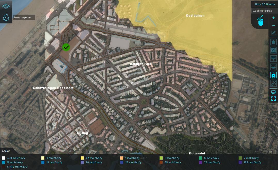
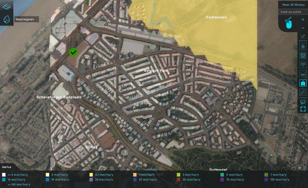
- Grid cells containing the NOX or NH3 pollution based on overlapping Natura 2000 pollution hexagons.
- An array of hexagon values stored in the Aerius Overlay under the NOX and NH3 keys.


