Demo Training Data Project: Difference between revisions
Created page with "{{demo project summary | title=Demo Train Dataset | image=demo_train_dataset.jpg | demographic=people who are working in fields such as AI, remote sensing, data analysis, and urban planning | showcases=a method in the {{software}} to export a dataset for training a Mask R-CNN model. | description=The demo is a working project in which a number of areas are drawn, using a satellite overlay as underlay. These areas are marked with specific attributes, making it easy to exp..." |
No edit summary |
||
| Line 6: | Line 6: | ||
| description=The demo is a working project in which a number of areas are drawn, using a satellite overlay as underlay. These areas are marked with specific attributes, making it easy to export them as a training or test set using an export option in the {{software}}. | | description=The demo is a working project in which a number of areas are drawn, using a satellite overlay as underlay. These areas are marked with specific attributes, making it easy to export them as a training or test set using an export option in the {{software}}. | ||
}} | }} | ||
==Train Dataset== | |||
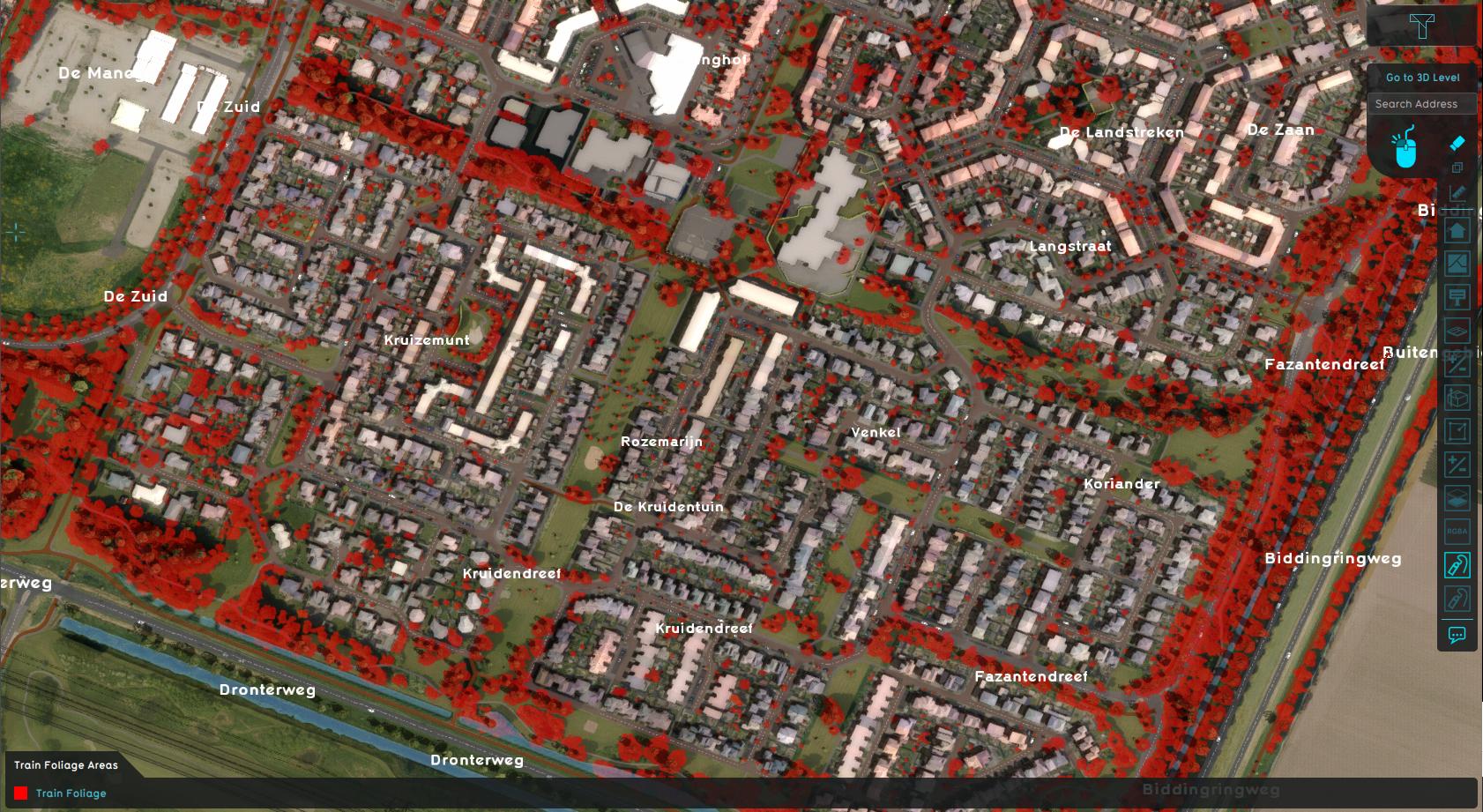
Demo Train Dataset is a project that contains shapes of foliage, drawn as [[area]]s on top of a satellite image. These areas, in combination with satellite images, can be exported as a dataset for training a Mask R-CNN model. Such a model can then be applied to a different project location to detect foliage. A specific use-case is detecting foliage on private property, such as gardens and private yards. | |||
Revision as of 08:43, 27 January 2025

The Demo Train Dataset project is available for all users and can be found in the main menu under Edit projects. This project does not count towards your license.
This project is intended for people who are working in fields such as AI, remote sensing, data analysis, and urban planning.
This project showcases a method in the Tygron Platform to export a dataset for training a Mask R-CNN model..
The demo is a working project in which a number of areas are drawn, using a satellite overlay as underlay. These areas are marked with specific attributes, making it easy to export them as a training or test set using an export option in the Tygron Platform.
Train Dataset
Demo Train Dataset is a project that contains shapes of foliage, drawn as areas on top of a satellite image. These areas, in combination with satellite images, can be exported as a dataset for training a Mask R-CNN model. Such a model can then be applied to a different project location to detect foliage. A specific use-case is detecting foliage on private property, such as gardens and private yards.