Avg terrain width m (Water Overlay): Difference between revisions
Jump to navigation
Jump to search
No edit summary |
No edit summary |
||
| Line 22: | Line 22: | ||
|notes= | |notes= | ||
* This option is only used when the [[Surface_water_(Water_Overlay)|surface water mode]] is set to '''Avg Terrain'''. | * This option is only used when the [[Surface_water_(Water_Overlay)|surface water mode]] is set to '''Avg Terrain'''. | ||
* As indicated by the range, the average terrain width is converted to a grid cell amount; the average terrain width is divided by the [[grid cell size]]. | |||
|howtos= | |howtos= | ||
* [[How to add and remove an Attribute]] | * [[How to add and remove an Attribute]] | ||
Revision as of 13:00, 29 January 2024

| Icon | Attribute | Unit | Range | Description | Default value |
|---|---|---|---|---|---|
| |
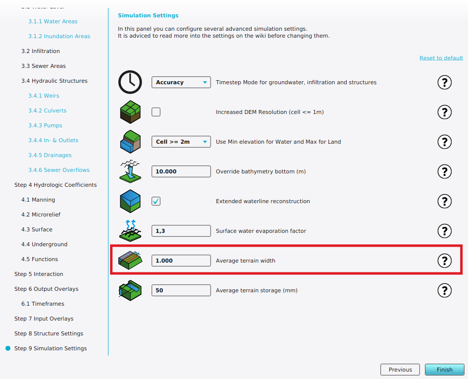
AVG_TERRAIN_WIDTH_M | m | 0 to 10000 grid cells | With the surface water mode set to Avg Terrain, identified water average areas can be extended to include surrounding terrain within the configured distance. | 1000 |
This allows water on land to be averaged with the waterways. Water on land that can be averaged has to be higher than the configured AVG_TERRAIN_STORAGE_M.
-
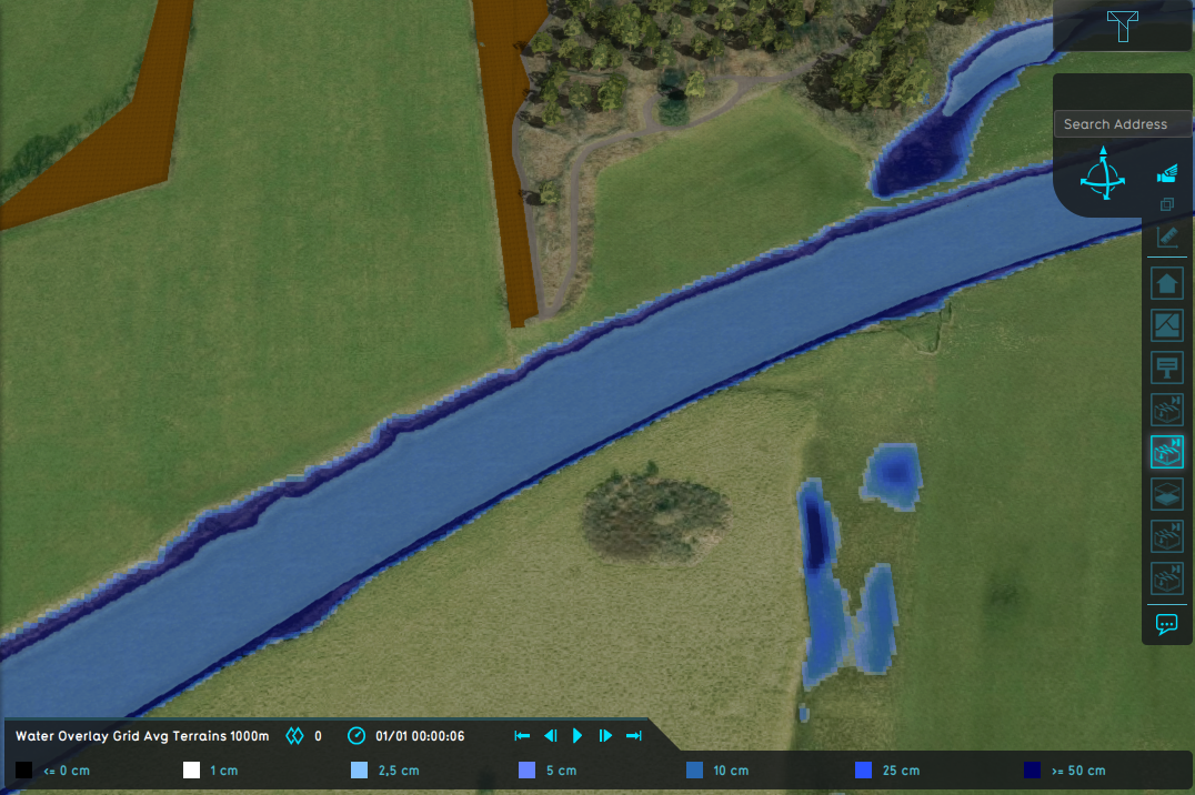
Water Overlay with set to Grid Averaging Terrains and an average terrain width of 1000m.
-
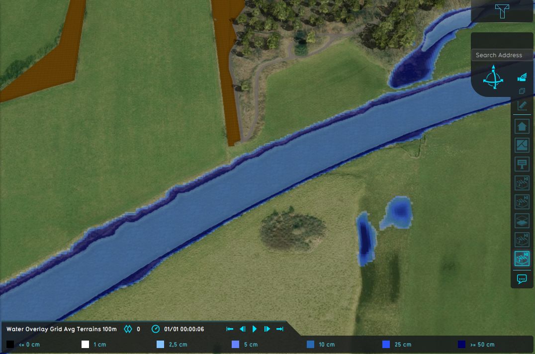
Water Overlay with set to Grid Averaging Terrains and an average shore width of 100m.
-
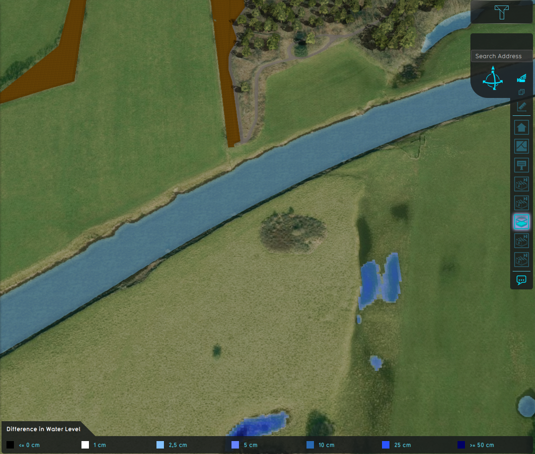
Difference in water level.
Notes
- This option is only used when the surface water mode is set to Avg Terrain.
- As indicated by the range, the average terrain width is converted to a grid cell amount; the average terrain width is divided by the grid cell size.


