Impact flood threshold m (Water Overlay): Difference between revisions
Jump to navigation
Jump to search
No edit summary |
No edit summary |
||
| Line 12: | Line 12: | ||
[[File:Impacted buildings.jpg]] | [[File:Impacted buildings.jpg]] | ||
<gallery mode=nolines widths=300px> | |||
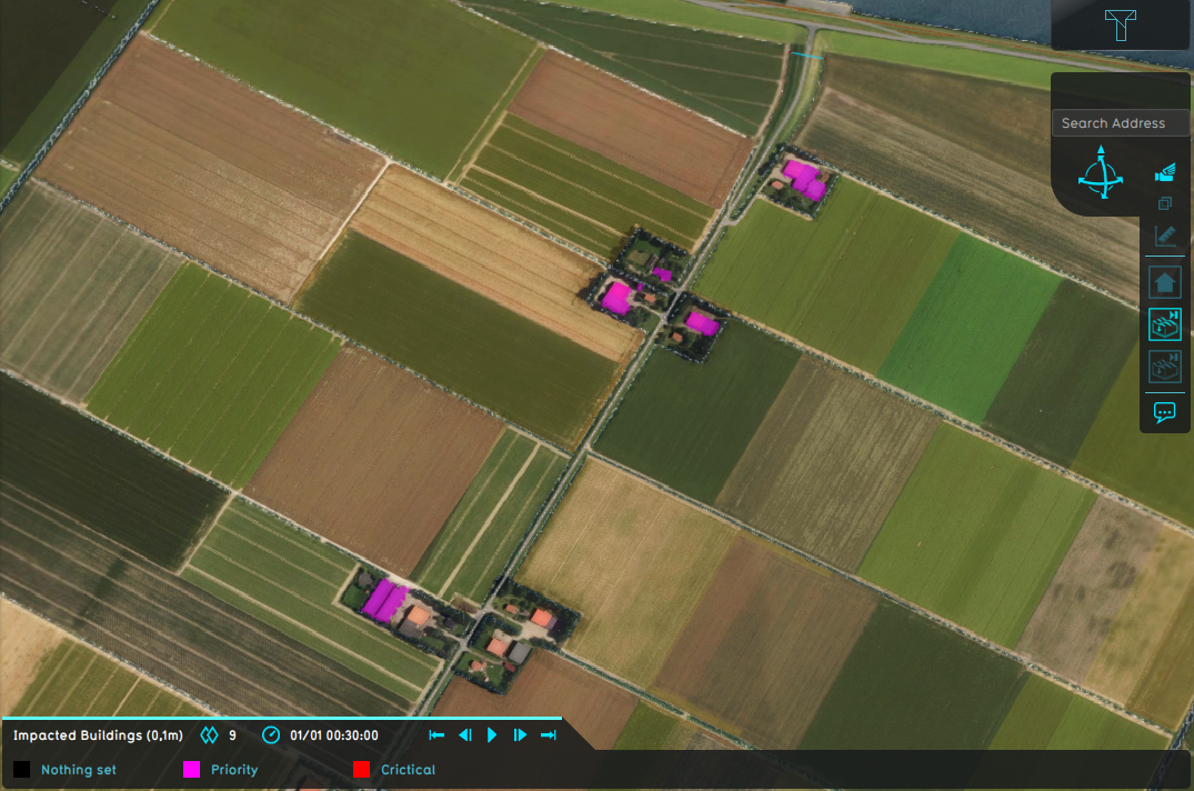
File:Wateroverlay_impact_flood_threshold_0_1m.png|[[Water Overlay]] with a configured flood threshold of 0.1m and a impact range of 3m. | |||
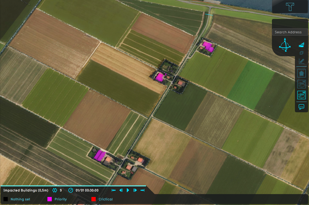
File:Wateroverlay_impact_flood_threshold_0_5m.png|[[Water Overlay]] with a configured flood threshold of 0.5m and a impact range of 3m. | |||
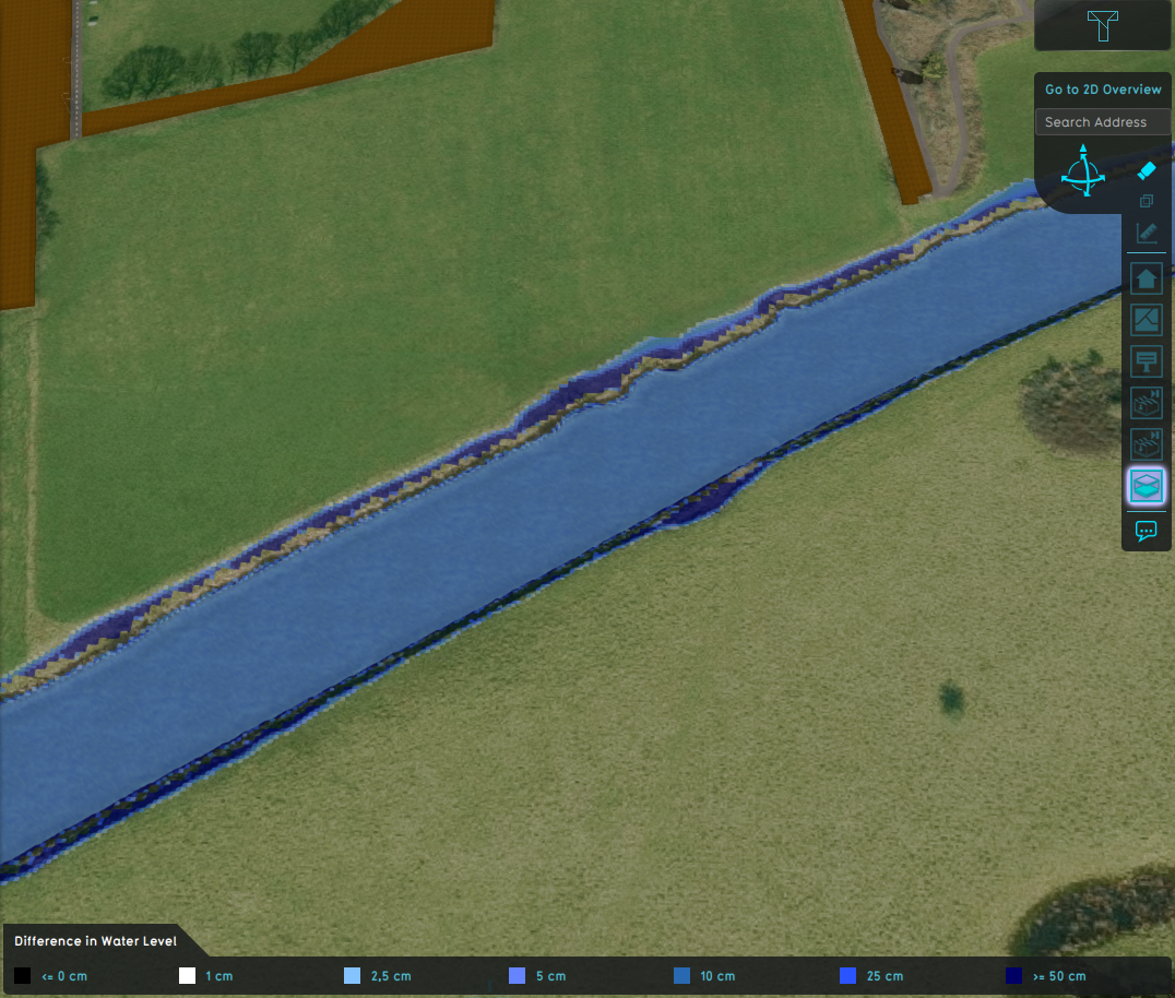
File:Wateroverlay_difference_waterlevel_avg_shorewidth.png|[[Surface last value result type (Water Overlay)|Surface last value]] result overlay of a 30 minute flood caused by a [[Breach (Water Overlay)|Breach]]. | |||
</gallery> | |||
{{article end | {{article end | ||
Revision as of 15:53, 29 January 2024
| Icon | Attribute | Unit | Range | Description | Default value |
|---|---|---|---|---|---|
| |
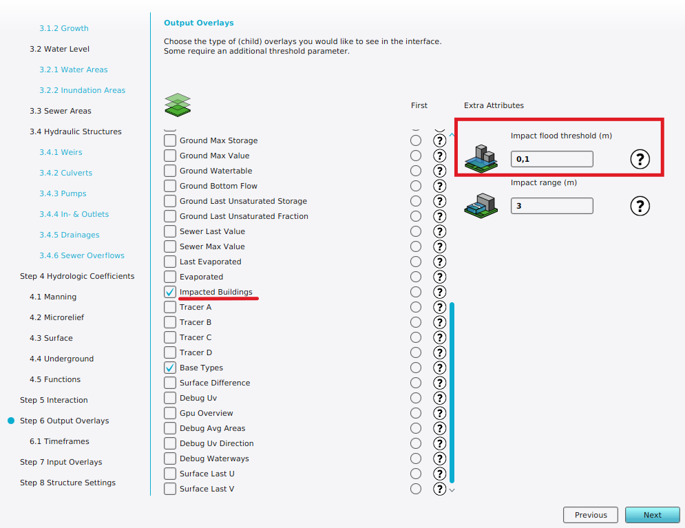
IMPACT_FLOOD_THRESHOLD_M | m | The amount of water a Building must experience before it is considered impacted by water. | 0,1 |
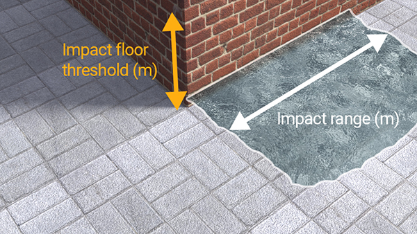
Water must reach this height either on one of the cells the Building is on, or on one of the cells adjacent to it. With the impact range m attribute the width of the water along the facade can be adjusted. This is used to compute the Impacted buildings result type.
-
Water Overlay with a configured flood threshold of 0.1m and a impact range of 3m.
-
Water Overlay with a configured flood threshold of 0.5m and a impact range of 3m.
-
Surface last value result overlay of a 30 minute flood caused by a Breach.
