How to change heightmap based on vector data
Jump to navigation
Jump to search
In this how-to we describe the steps to change a Project's heightmap based on externally created vector data, by creating a waterway.
How to change heightmap based on vector data:
- Open a project in the Editor
- Click on the Geo Import button in the ribbon bar to start the Geo Data Wizard
- In the Select Type step, select the option Terrains
- In the Import Method step, select the option A GeoJSON File
- Click on the Select local File button to select a GeoJSON file, or select it from the GeoShare
- Inspect and verify the identified features in the View Features Step
- In the Assign Types step, select the option One Terrain Type.
- Click on the Select button next to Default Terrain Type and select the Surface Terrain Type named Waterway.
- In the Adjust Heights step, select the option Override Angle of Repose and/or Water Bottom Height
- Select the option Water Bottom Height and select an Attribute in case the features provide an alternative height value.
- Select the option Angle of Repose and select an Attribute in case the features provide an alternative angle.
- Continue to the Finalize step and click on the finish button.
-
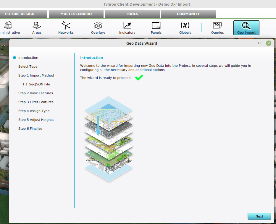 The Geo Import button in the ribbon bar
 -
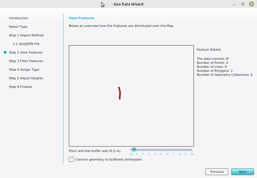 The identified features within the project area.
 -
 Specified the Terrain Type used to import the features as Terrains.
 -
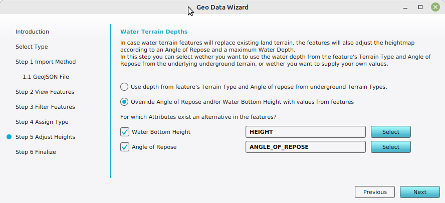 Specified the attributes to obtain an alternative height and angle of repose from the features.
 -
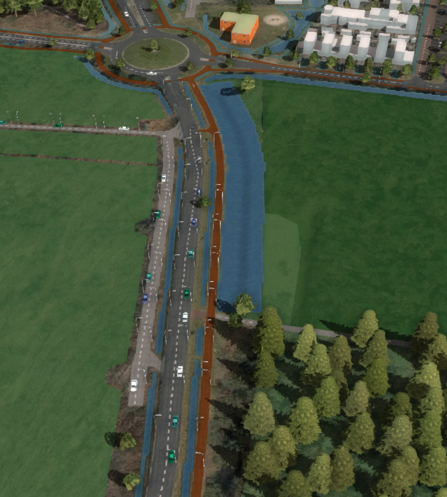 Result of the import.


