Measurement: Difference between revisions
Jump to navigation
Jump to search
No edit summary |
No edit summary |
||
| Line 1: | Line 1: | ||
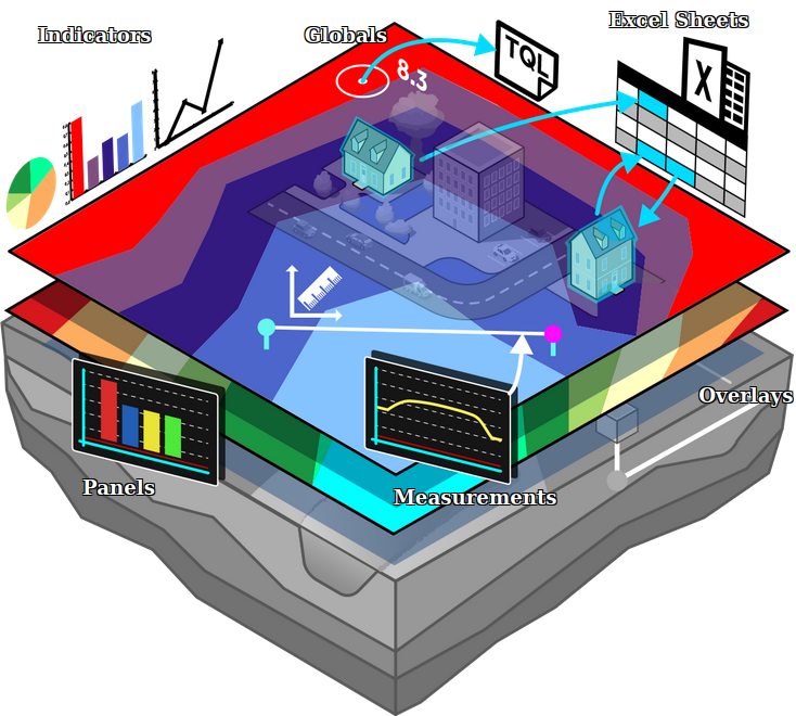
[[File:Api_current_situation_calculation.png|thumb|right|400px|[[Measurement]] in comparison to [[Overlay]]s.]] | |||
A measurement is the {{software}} is an item which allows users to record and inspect spatial data. Measurements can be positioned in the 3D world and are applied to a [[grid overlay]] or to an attribute related to a specific grid overlay. | A measurement is the {{software}} is an item which allows users to record and inspect spatial data. Measurements can be positioned in the 3D world and are applied to a [[grid overlay]] or to an attribute related to a specific grid overlay. | ||
Revision as of 12:38, 18 October 2022
A measurement is the Tygron Platform is an item which allows users to record and inspect spatial data. Measurements can be positioned in the 3D world and are applied to a grid overlay or to an attribute related to a specific grid overlay.
Measurements are accessible by
Types
Currently three types of measurements are supported:
- Point measurement, to inspect the value of a grid overlay for a specific location. Optionally displays values over time in case the overlay supports timeframes.
- Line measurement, to inspect the variation in values of a grid overlay on the line drawn.
- Object measurement, to inspect the value of an attribute of an object related to a grid overlay. Optionally displays values over time in case the overlay supports timeframes.
Adding a measurement
Measurements can be added, inspected, imported and exported using the measuring tool. It is accessible in the navigation panel, by clicking on the icon above the overlay bar.

