Elevation GeoTIFF: Difference between revisions
Jump to navigation
Jump to search
No edit summary |
No edit summary |
||
| Line 1: | Line 1: | ||
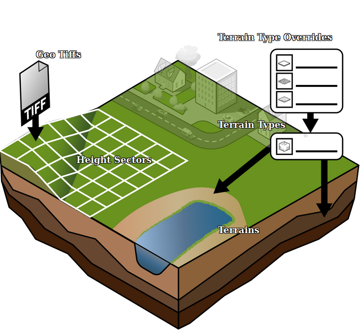
[[File:Api_current_situation_geography.png|thumb|right|400px|[[Elevation GeoTIFF]]s in relation to [[Height Sector]]s.]] | [[File:Api_current_situation_geography.png|thumb|right|400px|[[Elevation GeoTIFF]]s in relation to [[Height Sector]]s.]] | ||
An [[Elevation GeoTIFF]] is a [[GeoTIFF]] that represents a subsection of the DTM, that can be used to update the current DTM in the [[Project]]. | An [[Elevation GeoTIFF]] is a [[GeoTIFF]] that represents a subsection of the [[DTM]], that can be used to update the current DTM in the [[Project]]. | ||
{{article end | {{article end | ||
Revision as of 16:15, 11 January 2023

An Elevation GeoTIFF is a GeoTIFF that represents a subsection of the DTM, that can be used to update the current DTM in the Project.
How-to's
See also
- Digital Terrain Model Overlay