Inference Overlay: Difference between revisions
Jump to navigation
Jump to search
No edit summary |
No edit summary |
||
| (13 intermediate revisions by one other user not shown) | |||
| Line 1: | Line 1: | ||
[[File:Treesmask.jpg|thumb|right|Trees detected with Inference Overlay.]] | [[File:Treesmask.jpg|thumb|right|Trees detected with Inference Overlay.]] | ||
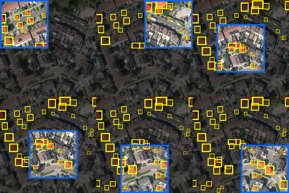
The AI Inference Overlay is a [[Grid Overlay]] which can spatially identify features using one or more Prequel Grids. Features are identified using a Convolution [[Neural Network]]. This | The AI Inference Overlay is a [[Grid Overlay]] which can spatially identify features using one or more Prequel Grids. Features are identified using a Convolution [[Neural Network]]. This Neural Network takes a subsection (window) of the input grid and either classifies or detects one or more objects in that window. The window of detection marches over the input grid with a [[Stride fraction (Inference Overlay)|configurable stride]]. | ||
==Foliage Example== | ==Foliage Example== | ||
[[File:inference_foliage_animated.gif|frame|right|Animation of inference with a moving window and Bounding Box detection.]] | [[File:inference_foliage_animated.gif|frame|right|Animation of inference with a moving window and Bounding Box detection.]] | ||
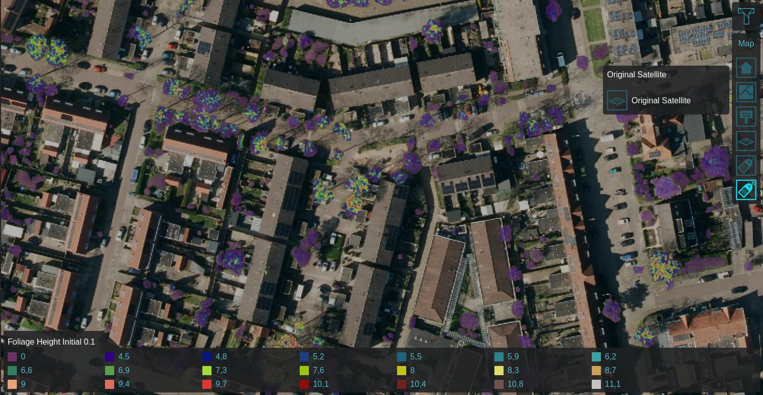
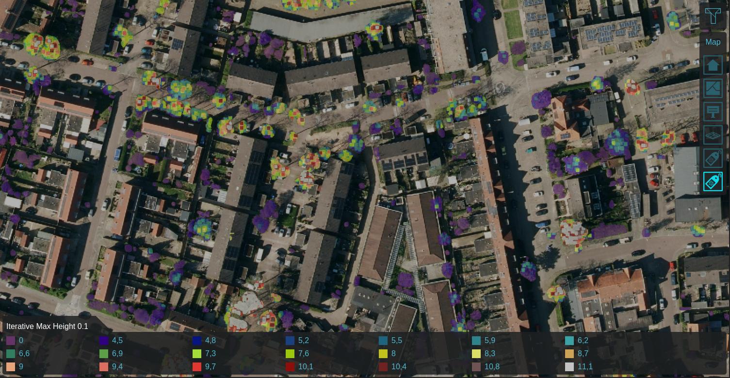
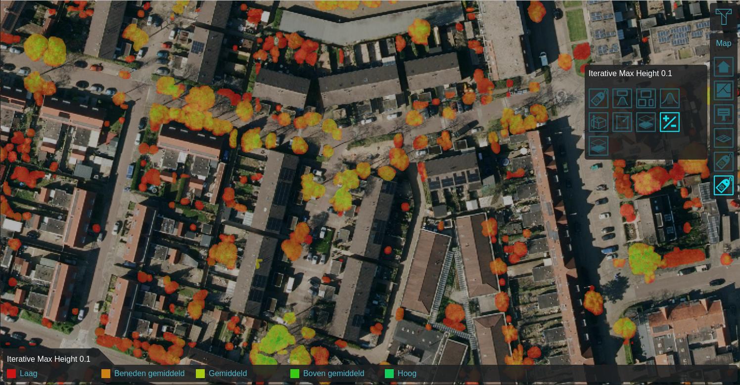
Using a [[Satellite Overlay]] of 0.1m detail, foliage features can be identified using an [[Inference Overlay]] and enhanced with a DTM, DSM, [[Combo Overlay]] to combine these and an | Using a [[Satellite Overlay]] of 0.1m detail, foliage features can be identified using an [[Inference Overlay]] and enhanced with a [[Digital Terrain Model Overlay]] (DTM), a [[WCS Overlay|WCS Overlay]] representing the [[DSM]], [[Combo Overlay]] to combine these and an optionally an iterative [[Avg & interpolation (overlay)|Max Overlay]] to enhance the foliage height. For more information, see this [[How to detect foliage using an Inference Overlay|how-to]]. | ||
<gallery widths="200"> | <gallery widths="200"> | ||
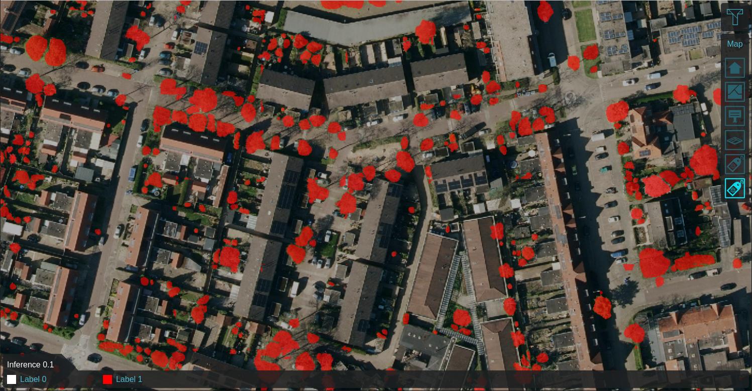
foliage_inference_labels.jpg|Labeled features on 0.1m satellite image | foliage_inference_labels.jpg|[[Labels result type (Inference Overlay)|Labeled features]] on 0.1m satellite image | ||
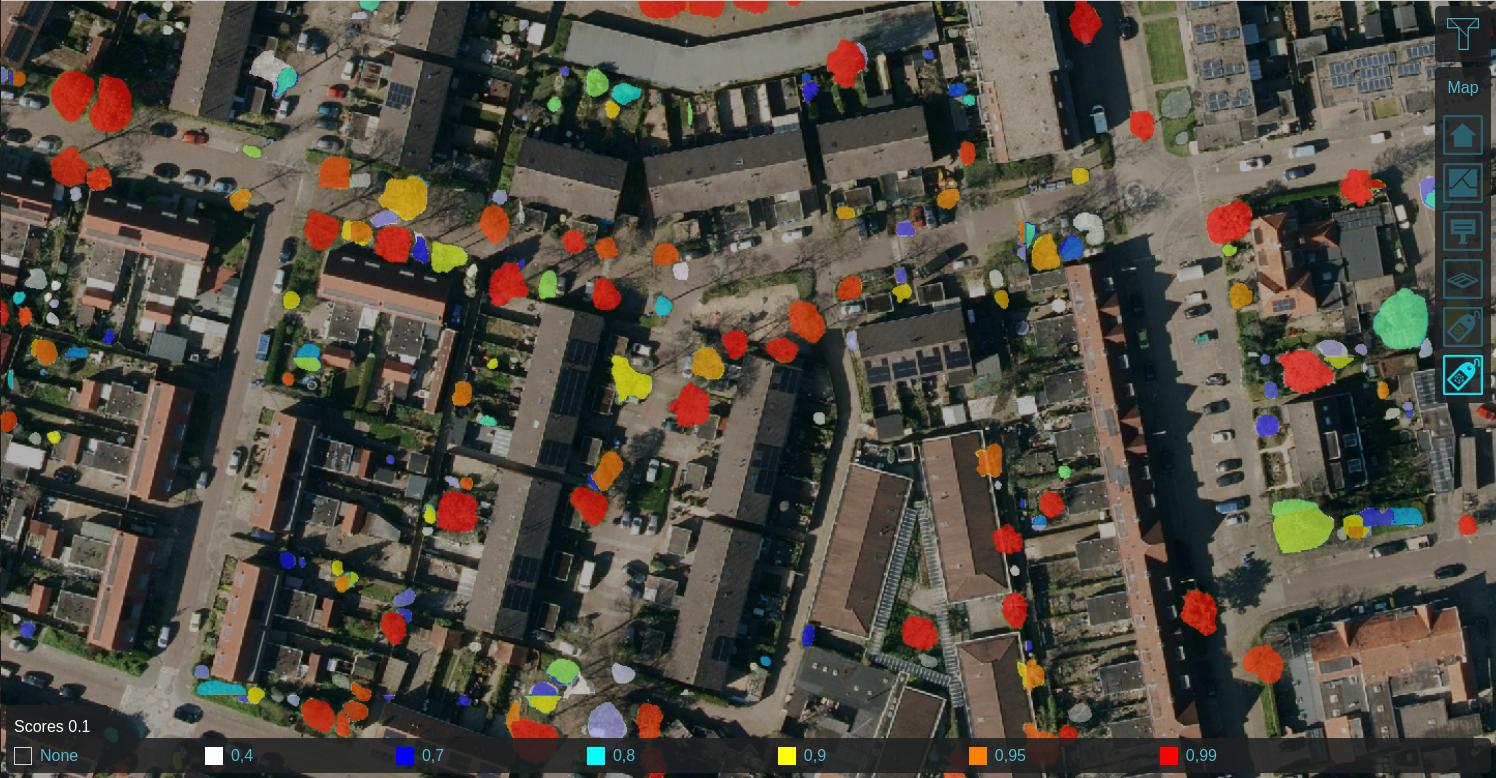
foliage_inference_scores.jpg|Label Scores | foliage_inference_scores.jpg|[[Scores result type (Inference Overlay)|Label Scores]] | ||
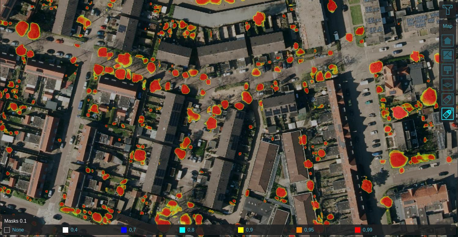
foliage_inference_masks.jpg|Pixel Masks | foliage_inference_masks.jpg|[[Masks result type (Inference Overlay)|Pixel Masks]] | ||
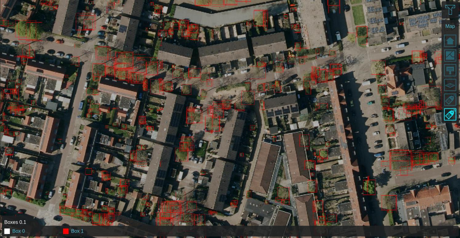
foliage_inference_boxes.jpg|Bounding Boxes | foliage_inference_boxes.jpg|[[Boxes result type (Inference Overlay)|Bounding Boxes]] | ||
foliage_inference_foliage_height.jpg|[[DSM]] subtracted by [[DTM]] on identified features | foliage_inference_foliage_height.jpg|[[DSM]] subtracted by [[DTM]] on identified features | ||
foliage_inference_iterative_max_5_iterations_d0_25m.jpg|Max neighboring height within 0.25m, iterated 5 times | foliage_inference_iterative_max_5_iterations_d0_25m.jpg|Max neighboring height within 0.25m, iterated 5 times | ||
| Line 21: | Line 21: | ||
* [[PyTorch]] | * [[PyTorch]] | ||
|howtos= | |howtos= | ||
* [[How to detect foliage using an Inference Overlay]] | |||
* [[How to create foliage height based on an Inference Overlay]] | |||
* [[How to import trees based on an Inference Overlay]] | * [[How to import trees based on an Inference Overlay]] | ||
* [[How to | * [[How to detect solar panels using an Inference Overlay]] | ||
* [[How to update Buildings's solar panel attribute based on an Inference Overlay]] | |||
}} | }} | ||
{{InferenceOverlay nav}} | {{InferenceOverlay nav}} | ||
{{Overlay nav}} | {{Overlay nav}} | ||
Revision as of 16:29, 7 November 2024
The AI Inference Overlay is a Grid Overlay which can spatially identify features using one or more Prequel Grids. Features are identified using a Convolution Neural Network. This Neural Network takes a subsection (window) of the input grid and either classifies or detects one or more objects in that window. The window of detection marches over the input grid with a configurable stride.
Foliage Example
Using a Satellite Overlay of 0.1m detail, foliage features can be identified using an Inference Overlay and enhanced with a Digital Terrain Model Overlay (DTM), a WCS Overlay representing the DSM, Combo Overlay to combine these and an optionally an iterative Max Overlay to enhance the foliage height. For more information, see this how-to.
-
Labeled features on 0.1m satellite image
-
Max neighboring height within 0.25m, iterated 5 times
How-to's
- How to detect foliage using an Inference Overlay
- How to create foliage height based on an Inference Overlay
- How to import trees based on an Inference Overlay
- How to detect solar panels using an Inference Overlay
- How to update Buildings's solar panel attribute based on an Inference Overlay
See also
