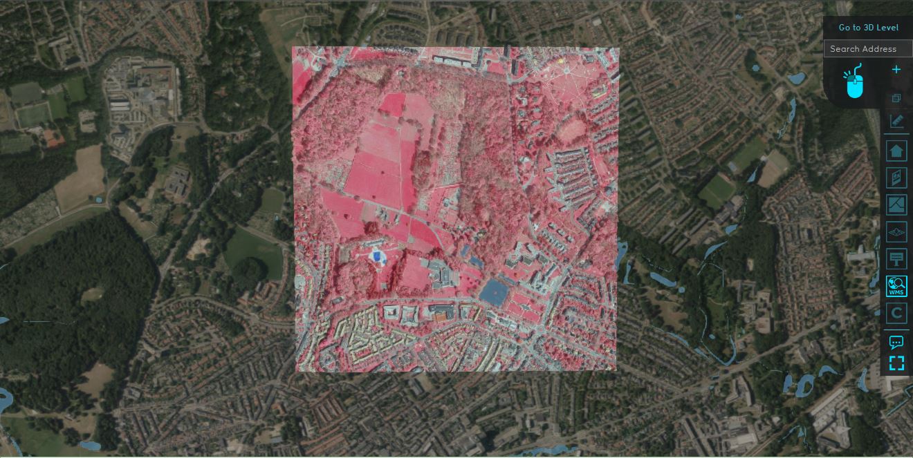
WMS Overlay

The WMS Overlay is a Grid overlay which can display an image result of a Web Map Service query of the project area. The advantage of the WMS Overlay being a Grid Overlay is that it can be used as input for other Overlays, such as the Combo Overlay, to apply filtering based on color values. To make the color filtering easier, the WMS Overlay has optional result types that only store one specific color channel.
Additional information displayed in hover panel
When clicking on a specific location in the map of the WMS Overlay, the hover panel gives additional information on the color (channel) value in that specific grid cell, depending on the result type.
Result Types
- Color
- Red
- Green
- Blue
- Alpha
How-to's
- How to add and remove an Overlay
- How to edit an overlay legend
- How to select a Web Map Service for a WMS Overlay
Related links