Rainfall Overlay: Difference between revisions
Jump to navigation
Jump to search
No edit summary |
|||
| Line 8: | Line 8: | ||
[[Result type (Water Overlay)#List of Result Types|List of Result Types]] | [[Result type (Water Overlay)#List of Result Types|List of Result Types]] | ||
==Rainfall overlay calculations== | <!--==Rainfall overlay calculations== | ||
[[Rainfall Overlay Calculations (Water overlay)]] | [[Rainfall Overlay Calculations (Water overlay)]] | ||
| Line 136: | Line 136: | ||
|hours | |hours | ||
|simulation time | |simulation time | ||
|} | |}--> | ||
==References== | ==References== | ||
Revision as of 13:06, 9 April 2019
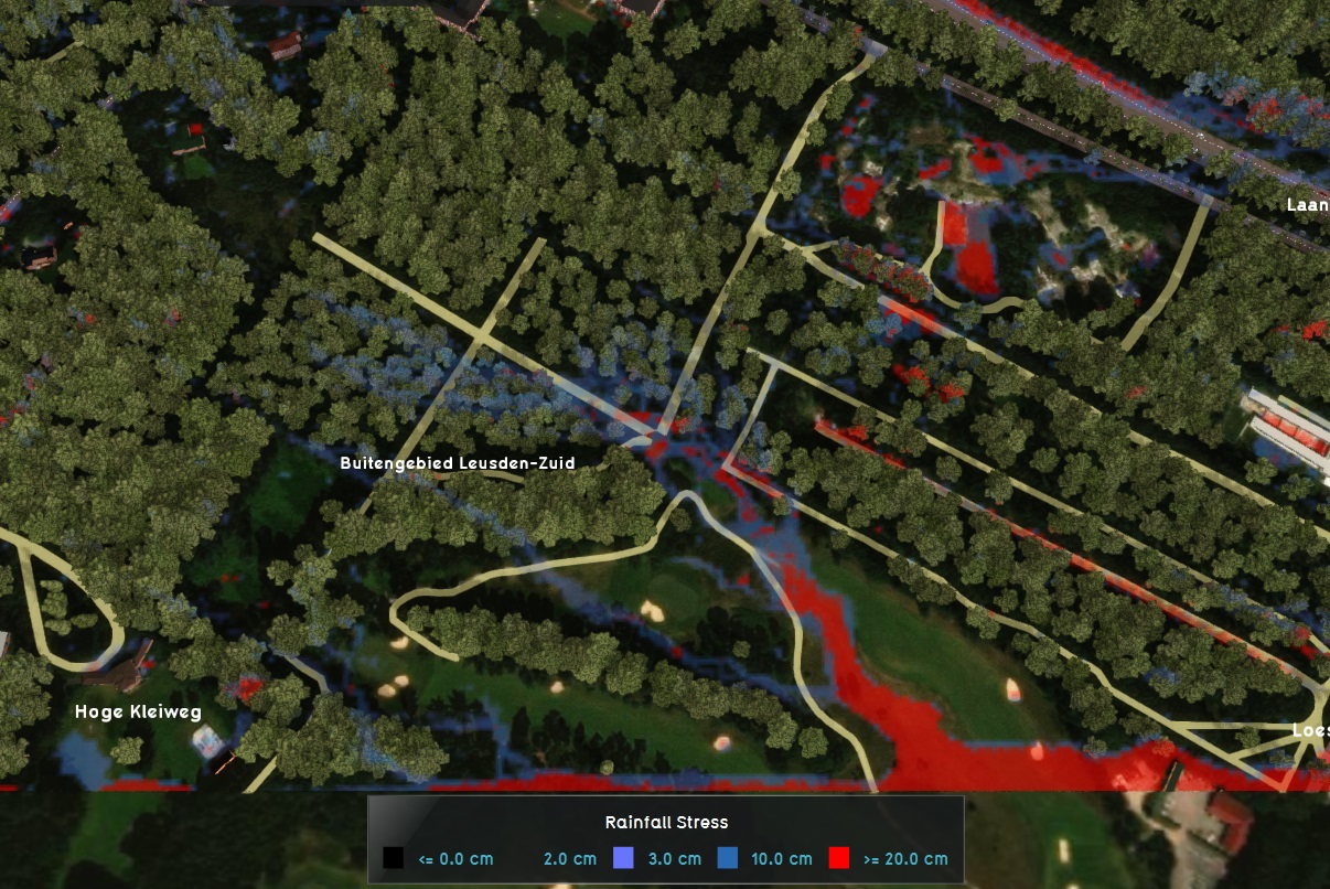
The Rainfall Overlay is an overlay based on the water module calculations that displays the hazard and impact of (heavy) rainfall over the project area. Based on the elevation model, terrain roughness and representations of the sewer and water systems, several result types can be displayed.
A Rainfall Overlay Tutorial is available to start working with this overlay.
Rainfall overlay results
Flooding overlay results
List of Result Types
References
- STOWA (2017) ∙ Benchmark Inundatiemodellen, Modelfunctionaliteiten en testbankberekeningen ∙ found at: https://ruimtelijkeadaptatie.nl/publish/pages/129612/benchmark_inundatiemodellen_stowa_2017.pdf (last visited 2018-08-13)
- Rainfall Overlay Calculations (Water overlay)
- Water model formulas
How-to's
