Waterwijzer Overlay: Difference between revisions
Jump to navigation
Jump to search
No edit summary |
No edit summary |
||
| Line 3: | Line 3: | ||
==Usage== | ==Usage== | ||
The Waterwijzer Overlay results can be used to: | The Waterwijzer Overlay results can be used to: | ||
* Calculate the yield loss based on existing crops for currently known highest and lowest | * Calculate the yield loss based on existing crops for currently known highest and lowest groundwater levels. | ||
* Calculate the yield loss for crops when using different | * Calculate the yield loss for crops when using different groundwater level management strategies simulated by a Groundwater Overlay or a Subsidence Overlay. | ||
* Determine the best type of crop per parcel given the highest and lowest | * Determine the best type of crop per parcel given the highest and lowest groundwater levels and type of soil. | ||
==Considerations== | ==Considerations== | ||
| Line 14: | Line 14: | ||
* [[Bofek_id_(Waterwijzer_Overlay)|Type of soil]]; | * [[Bofek_id_(Waterwijzer_Overlay)|Type of soil]]; | ||
* [[Brp_code_(Waterwijzer_Overlay)|Type of crop]]; | * [[Brp_code_(Waterwijzer_Overlay)|Type of crop]]; | ||
* [[High_ground_water_(Waterwijzer_Overlay)|Highest]] and [[Low_ground_water_(Waterwijzer_Overlay)|lowest]] (averaged) | * [[High_ground_water_(Waterwijzer_Overlay)|Highest]] and [[Low_ground_water_(Waterwijzer_Overlay)|lowest]] (averaged) groundwater levels; | ||
* The irrigation parameter, which in the [https://waterwijzerlandbouw.wur.nl/tool.html Waterwijzer tool] is active for a number of the crop types, is currently not taken into account. | * The irrigation parameter, which in the [https://waterwijzerlandbouw.wur.nl/tool.html Waterwijzer tool] is active for a number of the crop types, is currently not taken into account. | ||
* The version of the [https://waterwijzerlandbouw.wur.nl/tool.html Waterwijzer tool], for which we currently always use 2.0.0. | * The version of the [https://waterwijzerlandbouw.wur.nl/tool.html Waterwijzer tool], for which we currently always use 2.0.0. | ||
Revision as of 13:30, 3 September 2020
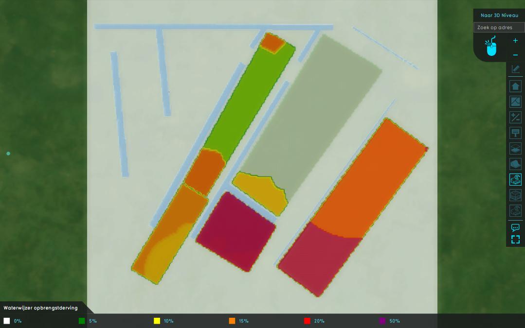
The waterwijzer overlay provides the yield loss of crops based on several input parameters. The yield loss is currently calculated by the Waterwijzer Landbouw module, which is described here.
Usage
The Waterwijzer Overlay results can be used to:
- Calculate the yield loss based on existing crops for currently known highest and lowest groundwater levels.
- Calculate the yield loss for crops when using different groundwater level management strategies simulated by a Groundwater Overlay or a Subsidence Overlay.
- Determine the best type of crop per parcel given the highest and lowest groundwater levels and type of soil.
Considerations
The Waterwijzer Overlay calculates yield loss for agriculture crops based on:
- A climate scenario;
- A weather station;
- Type of soil;
- Type of crop;
- Highest and lowest (averaged) groundwater levels;
- The irrigation parameter, which in the Waterwijzer tool is active for a number of the crop types, is currently not taken into account.
- The version of the Waterwijzer tool, for which we currently always use 2.0.0.
Result types
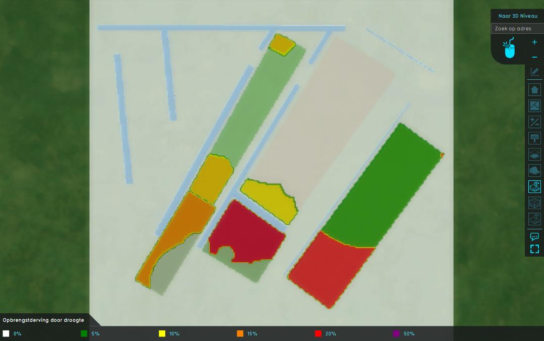
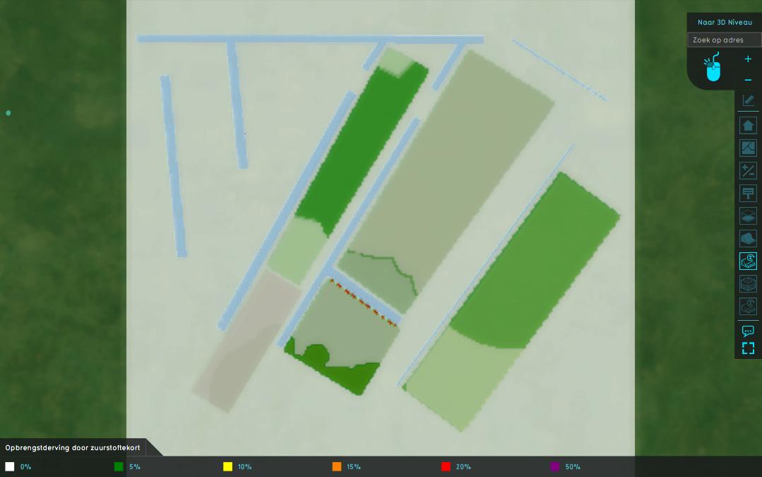
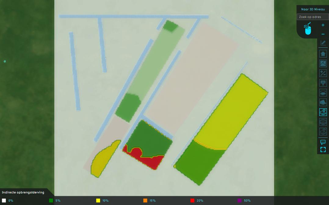
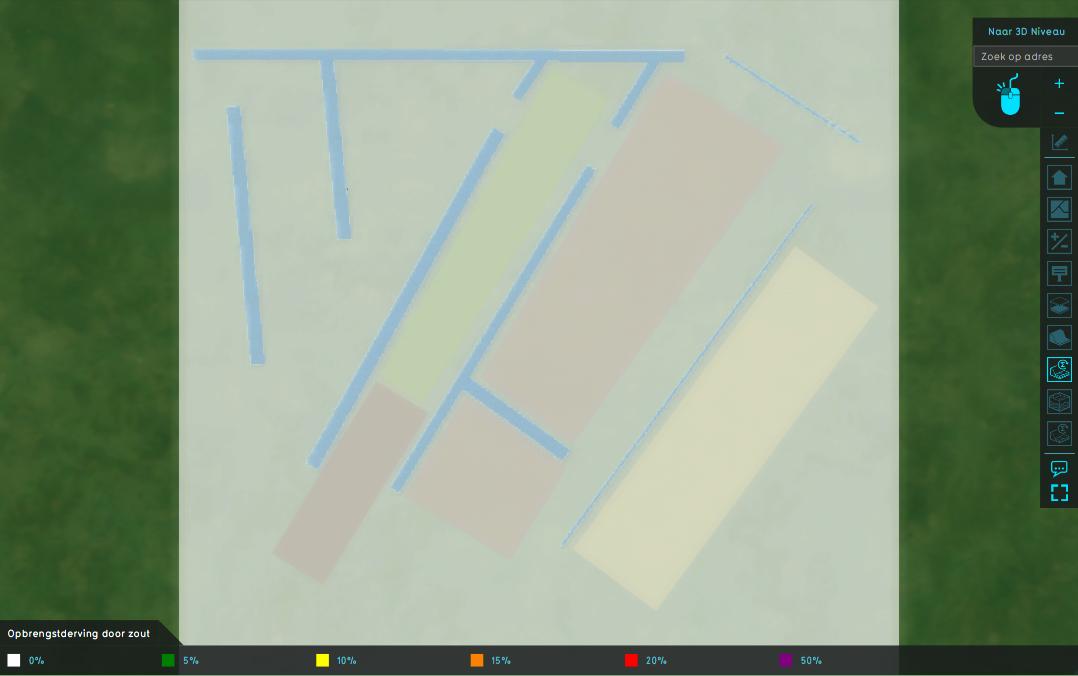
The overlay offers the following result types, each storing the agricultural yield loss in percentage. The categories are:
- Dry: low water levels cause crops to dry out;
- Wet: high water levels cause crops' roots to suffocate;
- Indirect: Indirect causes, related to combinations of crop, soil, weather and water levels
- Salt: salt water irrigation causes damage to crops;
- Total: the sum of the previous four categories.
How-to's
- How to add and remove an Overlay
- How to edit an overlay legend
- How to add the Waterwijzer Overlay
- How to configure the Waterwijzer Overlay to use groundwater results from other calculations
Module
A Waterwijzer Overlay can be configured by opening the Waterwijzer Overlay Wizard. More in-depth information can be found under each of the categories below.
