Geo Link
Jump to navigation
Jump to search

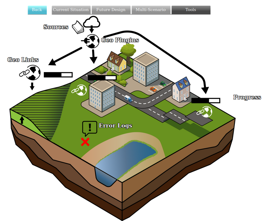
A Geo Link is a feature matching and mapping definition for a Geo Plugin. Geometry features obtained from a source can be matched by a Geo Plugin to a Geo Link based on filters and a priority. A feature can then be mapped to create a new specific item, such as a Building or Area, depending on the configuration of the Geo Link. A Geo Plugin can have multiple Geo Links.
A Geo Link provides the following linkage options:
- Type definition
- The data matching the Geo Link filter will be imported as Items with the selected definition. For example, when the Geo Plugin is for Buildings, features matched by the Geo Link are added to the Project with that specified Function.
- Matching Attributes
- A list of Attributes which a feature should have in order to be imported. Each attribute can be configured to merely be present, or to need to match one of a list of values. This allows for filtering on a specific group of features only.

- Mapped Attributes
- A list of Attributes which are renamed on import. If the specified Attribute is present in a feature in the data, the resulting Item will have an Attribute with the specified mapped name with the same value.

- Priority
- When multiple Geo Links would match a specific feature, the most specific Geo Link (i.e. the one with the most matching Attributes) would be leading. However, it is possible for multiple Geo Links to "tie" in how specific they are. In that case, the Geo Link with the highest priority takes precedence.
- Geometry mode
- Optionally a feature's geometry can be altered using the Geometry Mode and the line and point buffer values. This can be useful when the data consist of points or lines and have to be converted to a multi-polygon.

Notes
- Priority does not affect whether non-overlapping Items, such as Buildings, are placed rather than others, but solely which Geo Link is used to interpret a feature, given multiple Geo Links potentially match it.
- Matching Attributes for Geo Links can contain multiple values. Only one such value needs to be present in a feature to match. However, having more matching features in the same Attribute does not incur more significance than having just a single value matching in the same Attribute. In these cases priorities need to be assigned.